Transport Functions
Rail
Road
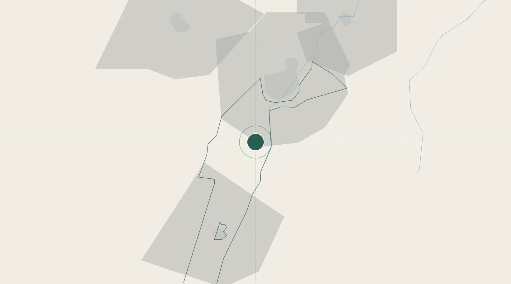
Hub Profile
Place type
Regional capital
Region
South-East
Population
33,271
Time zone
Africa/Gaborone
Elevation
1,039 m
Location
Nearby Logistics Neighbours
Cities
- 1Gaborone24 km
- 2Gaberones Camp24 km
- 3Zeerust79 km
- 4East End143 km
- 5Mahalapye222 km
Ports
- 1Maputo687 km
- 2Durban760 km
- 3Richards Bay762 km
- 4East London931 km
- 5Inhambane976 km
Airports
DatabookThe Record of Consolidated Knowledge
Botswana beyond logistics?