Special Economic Zone · Botswana

Gaborone Fairgrounds Special Economic Zone Under Development
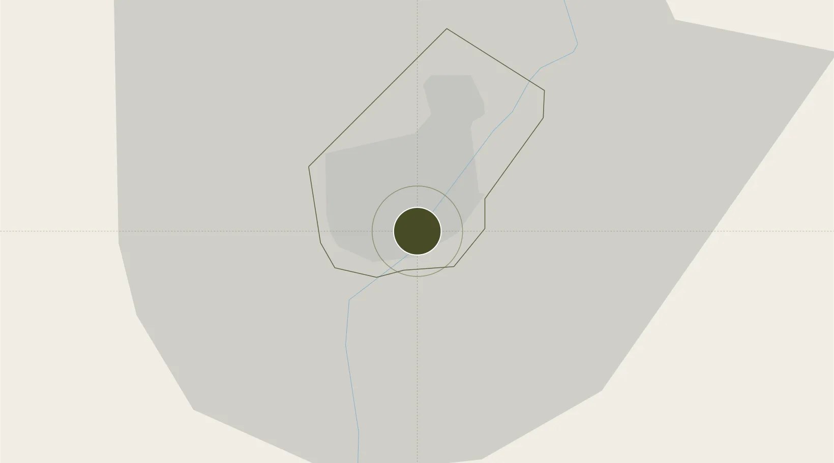
-24.6773°, 25.9263°
50 ha
Zone area
680.3 km
Nearest port
13.6 km
Nearest airport

Gateway access

Nearest neighbours — logibook spatial index (haversine) over the source coordinates

Zone profile

Zone type
Special Economic Zone
the World Bank SEZ database
Region
Gaborone
the World Bank SEZ database
Status
Under Development
the World Bank SEZ database
Established
In development
the World Bank SEZ database
Management
Under review
the World Bank SEZ database
Operator
Under review
the World Bank SEZ database
Regulatory authority
Under review
the World Bank SEZ database
Legal framework
Under review
the World Bank SEZ database

Location

Location of BWA1
Natural Earth 10m (public domain) · Gaborone · BWA1 · -24.68, 25.93GoogleOSMYandex

Fiscal & incentives

Corporate tax
22%
the World Bank SEZ database
Tax relief
Under review
the World Bank SEZ database
Relief duration
Under review
the World Bank SEZ database
VAT
Under review
the World Bank SEZ database
Import duty (inputs)
Under review
the World Bank SEZ database
Import duty (capex)
Under review
the World Bank SEZ database
Profit repatriation
Under review
the World Bank SEZ database
Capital gains
Under review
the World Bank SEZ database
Withholding tax
Under review
the World Bank SEZ database
Min. investment
None
the World Bank SEZ database
Min. export
0%
the World Bank SEZ database
Employment incentive
Under review
the World Bank SEZ database
Developer incentive
Under review
the World Bank SEZ database

Nearby Logistics Neighbours

Ports
  1. 1Maputo680 km
  2. 2Richards Bay766 km
  3. 3Durban769 km
  4. 4East London949 km
  5. 5Inhambane964 km
Nearest neighbours — logibook spatial index (haversine) over the source coordinates
Airports
  1. 1Sir Seretse Khama International Airport14 km
  2. 2Jwaneng Airport125 km
  3. 3Mmabatho International Airport130 km
  4. 4Pilanesberg International Airport145 km
  5. 5Morningside Farm Airport151 km
Nearest neighbours — logibook spatial index (haversine) over the source coordinates
Cities
  1. 1Gaberones Camp2 km
  2. 2Gaborone3 km
  3. 3Ramotswa24 km
  4. 4Zeerust97 km
  5. 5East End162 km
Nearest neighbours — logibook spatial index (haversine) over the source coordinates
Trade Zones
  1. 1Sir Seretse Khama Intl Airport Zone10 km
  2. 2Lobatse Special Economic Zone64 km
  3. 3Mafikeng (Mahikeng) Industrial development Zone129 km
  4. 4Bojanala (Platinum Valley) Special Economic Zone151 km
  5. 5Babelegi Industrial Park248 km
Nearest neighbours — logibook spatial index (haversine) over the source coordinates
DatabookThe Record of Consolidated Knowledge
Botswana beyond logistics?
Browse databook

All Sources

Trade Zonesthe World Bank SEZ database
CC BY 4.0
Portsthe NGA World Port Index
Public domain (US gov)
AirportsOurAirports
Public domain
LocationsUN/LOCODE
UN/LOCODE — free
← Botswana trade zones