Medium airport · South Africa

Morningside Farm AirportFAMS
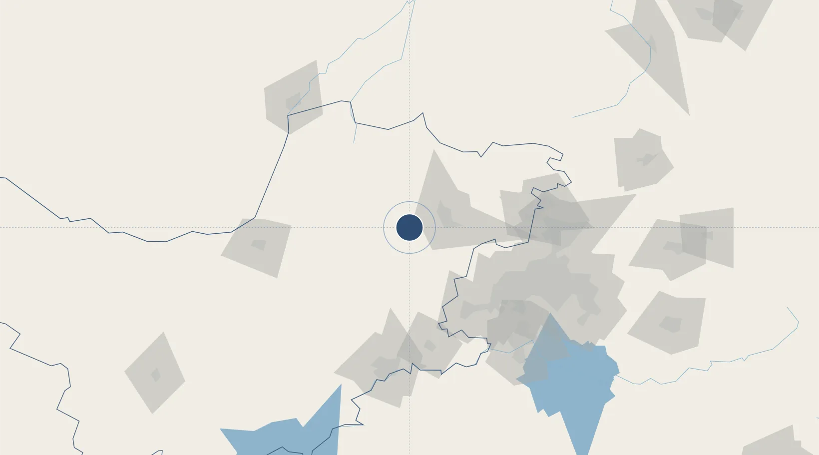
-25.7045°, 26.9090°
5,046 ft
Longest runway
1
Runways
4,251 ft
Elevation

Runway & Layout

Morningside Farm Airport runway & taxiway layout
Runway & taxiway layout — OpenStreetMap (ODbL) / OurAirports

Runways · 1

RunwayDimensions SurfaceTrue headingLit
03/21 5,046 × 33ft Asphalt 016°
OurAirports

Airport Specifications

ICAO code
FAMS
OurAirports
Airport class
Medium airport
OurAirports
Scheduled service
No
OurAirports
Runway surface
Asphalt
OurAirports
Served city
Silveroaks
OurAirports

Location

Location of FAMS
Natural Earth 10m (public domain) · North West · FAMS · -25.70, 26.91GoogleOSMYandex

Nearby Logistics Neighbours

Airports
  1. 1Rustenburg Airport37 km
  2. 2Pilanesberg International Airport49 km
  3. 3Lanseria International Airport105 km
  4. 4Potchefstroom Airport109 km
  5. 5Swartkop Air Force Base126 km
Nearest neighbours — logibook spatial index (haversine) over the source coordinates
Cities
  1. 1Zeerust85 km
  2. 2East End87 km
  3. 3Doornfontein88 km
  4. 4Westonaria101 km
  5. 5Chamdor102 km
Nearest neighbours — logibook spatial index (haversine) over the source coordinates
Ports
  1. 1Maputo565 km
  2. 2Durban618 km
  3. 3Richards Bay618 km
  4. 4East London821 km
  5. 5Inhambane880 km
Nearest neighbours — logibook spatial index (haversine) over the source coordinates
Trade Zones
  1. 1Bojanala (Platinum Valley) Special Economic Zone61 km
  2. 2Mafikeng (Mahikeng) Industrial development Zone108 km
  3. 3Lobatse Special Economic Zone135 km
  4. 4Tshwane Automotive Industrial Zone141 km
  5. 5Babelegi Industrial Park143 km
Nearest neighbours — logibook spatial index (haversine) over the source coordinates
DatabookThe Record of Consolidated Knowledge
South Africa beyond logistics?
Browse databook

All Sources

AirportsOurAirports
Public domain
Portsthe NGA World Port Index
Public domain (US gov)
LocationsUN/LOCODE
UN/LOCODE — free
Trade Zonesthe World Bank SEZ database
CC BY 4.0
Trade ZonesOpen Zone Map
CC BY
InfrastructureOpenStreetMap
ODbL 1.0
← South Africa airports