Export Processing Zone · Botswana

Sir Seretse Khama Intl Airport Zone Active
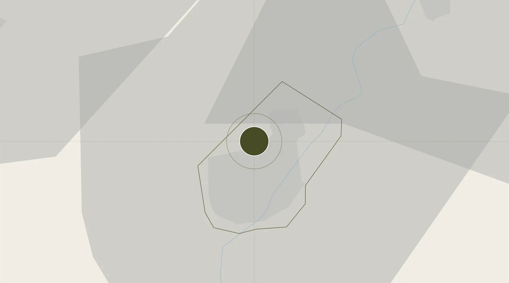
-24.5891°, 25.9126°
573 ha
Zone area
684.0 km
Nearest port
3.8 km
Nearest airport

Gateway access

Nearest neighbours — logibook spatial index (haversine) over the source coordinates

Zone profile

Zone type
Export Processing Zone
Open Zone Map
Region
Gaborone
Open Zone Map
Status
Active
Open Zone Map
Management
Public
Open Zone Map
Operator
Ministry of Investment, Trade and Industry
Open Zone Map
Legal framework
Special Economic Zones Act (Act 13, 2015)
Open Zone Map

Location

Location of ozm-207
Natural Earth 10m (public domain) · Gaborone · ozm-207 · -24.59, 25.91GoogleOSMYandex

Nearby Logistics Neighbours

Ports
  1. 1Maputo684 km
  2. 2Richards Bay773 km
  3. 3Durban777 km
  4. 4East London959 km
  5. 5Inhambane965 km
Nearest neighbours — logibook spatial index (haversine) over the source coordinates
Airports
  1. 1Sir Seretse Khama International Airport4 km
  2. 2Jwaneng Airport124 km
  3. 3Mmabatho International Airport139 km
  4. 4Pilanesberg International Airport152 km
  5. 5Morningside Farm Airport160 km
Nearest neighbours — logibook spatial index (haversine) over the source coordinates
Cities
  1. 1Gaberones Camp9 km
  2. 2Gaborone9 km
  3. 3Ramotswa32 km
  4. 4Zeerust106 km
  5. 5East End172 km
Nearest neighbours — logibook spatial index (haversine) over the source coordinates
Trade Zones
  1. 1Gaborone Fairgrounds Special Economic Zone10 km
  2. 2Lobatse Special Economic Zone72 km
  3. 3Mafikeng (Mahikeng) Industrial development Zone139 km
  4. 4Bojanala (Platinum Valley) Special Economic Zone157 km
  5. 5Babelegi Industrial Park253 km
Nearest neighbours — logibook spatial index (haversine) over the source coordinates
DatabookThe Record of Consolidated Knowledge
Botswana beyond logistics?
Browse databook

All Sources

Trade ZonesOpen Zone Map
CC BY
Portsthe NGA World Port Index
Public domain (US gov)
AirportsOurAirports
Public domain
LocationsUN/LOCODE
UN/LOCODE — free
← Botswana trade zones