UN/LOCODE hub · South Africa
ZAZBK

East End

-26.1167°, 26.1667°
1
Transport functions

Transport Functions

Multimodal
UN/LOCODE

Hub Profile

Region
FS
GeoNames

Location

Location of ZAZBK
Natural Earth 10m (public domain) · FS · ZAZBK · -26.12, 26.17GoogleOSMYandex

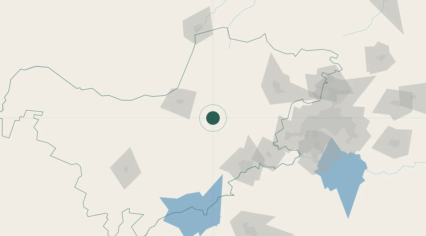
Nearby Logistics Neighbours

Cities
  1. 1Zeerust65 km
  2. 2Potchefstroom114 km
  3. 3Doornfontein121 km
  4. 4Ramotswa143 km
  5. 5Viljoenskroon145 km
Nearest neighbours — logibook spatial index (haversine) over the source coordinates
Ports
  1. 1Durban637 km
  2. 2Maputo637 km
  3. 3Richards Bay657 km
  4. 4East London788 km
  5. 5Port Elizabeth873 km
Nearest neighbours — logibook spatial index (haversine) over the source coordinates
Airports
  1. 1Mmabatho International Airport71 km
  2. 2Morningside Farm Airport87 km
  3. 3P C Pelser Airport100 km
  4. 4Potchefstroom Airport110 km
  5. 5Rustenburg Airport122 km
Nearest neighbours — logibook spatial index (haversine) over the source coordinates
DatabookThe Record of Consolidated Knowledge
South Africa beyond logistics?
Browse databook

All Sources

LocationsUN/LOCODE
UN/LOCODE — free
Portsthe NGA World Port Index
Public domain (US gov)
AirportsOurAirports
Public domain
Trade Zonesthe World Bank SEZ database
CC BY 4.0
Trade ZonesOpen Zone Map
CC BY
← South Africa locations