Medium airport · South Africa
P C Pelser AirportFAKD
-26.8711°, 26.7180°
4,921 ft
Longest runway
3
Runways
4,444 ft
Elevation
Runway & Layout

Radio Frequencies
RDO
123.5 MHz
Navaids
KD NDB Klerksdorp 280 kHz
Runways · 3
| Runway | Dimensions | Surface | True heading | Lit |
|---|---|---|---|---|
| 18/36 | 4,921 × 59ft | Asphalt | 166° | ✓ |
| 15/33 | 3,281 × 82ft | Graded earth | 133° | — |
| 05/23 | 2,953 × 82ft | Graded earth | 031° | — |
Airport Specifications
IATA code
KXE
ICAO code
FAKD
Airport class
Medium airport
Scheduled service
No
Runway surface
Asphalt
Served city
Klerksdorp
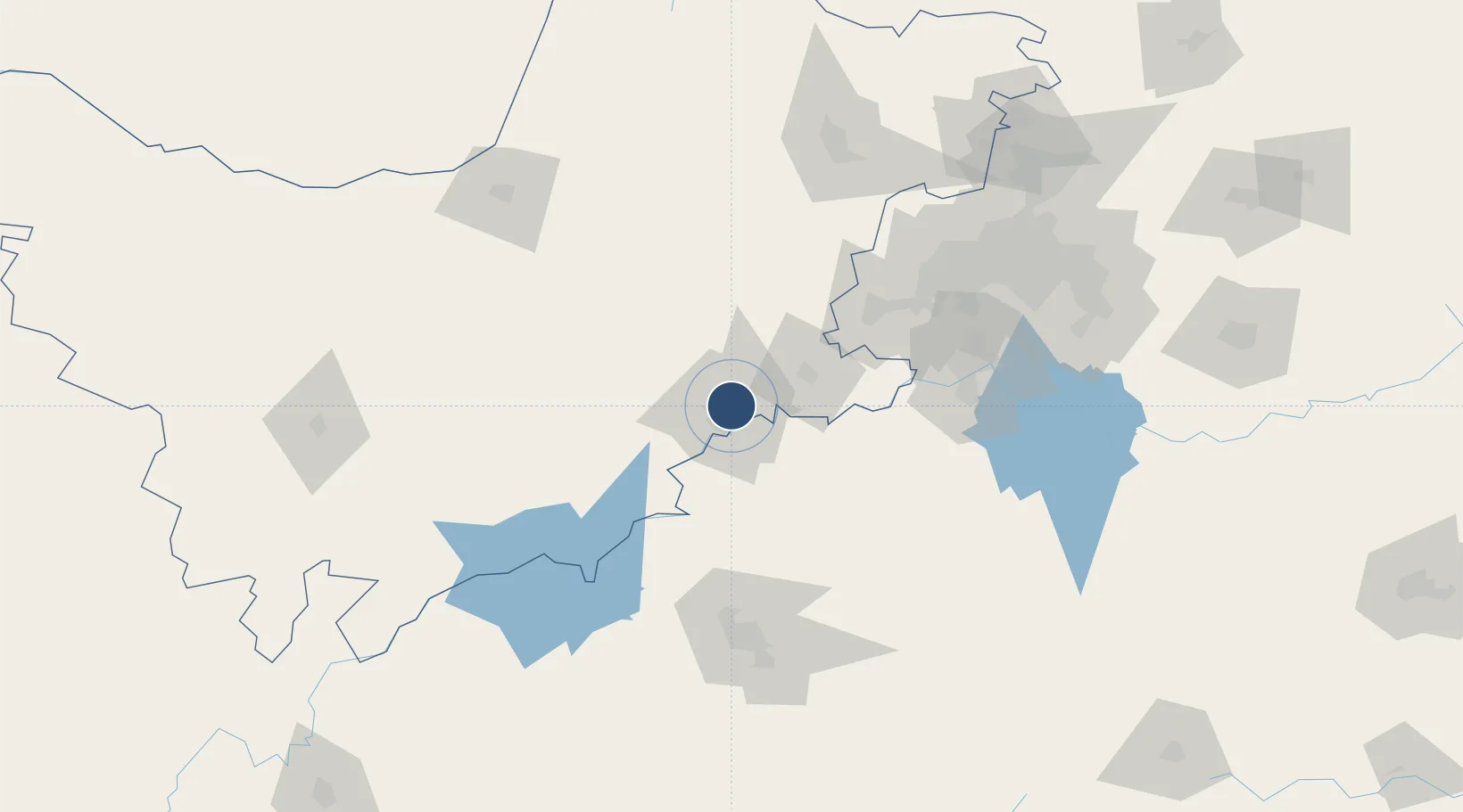
Location
Nearby Logistics Neighbours
Airports
- 1Potchefstroom Airport42 km
- 2Vereeniging Airport128 km
- 3Morningside Farm Airport131 km
- 4Rustenburg Airport147 km
- 5Rand Airport159 km
Cities
- 1Potchefstroom42 km
- 2Viljoenskroon45 km
- 3Parys73 km
- 4Doornfontein81 km
- 5East End100 km
Ports
- 1Durban540 km
- 2Richards Bay571 km
- 3Maputo589 km
- 4East London695 km
- 5Port Elizabeth794 km
DatabookThe Record of Consolidated Knowledge
South Africa beyond logistics?