Medium airport · South Africa
Mmabatho International AirportFAMM
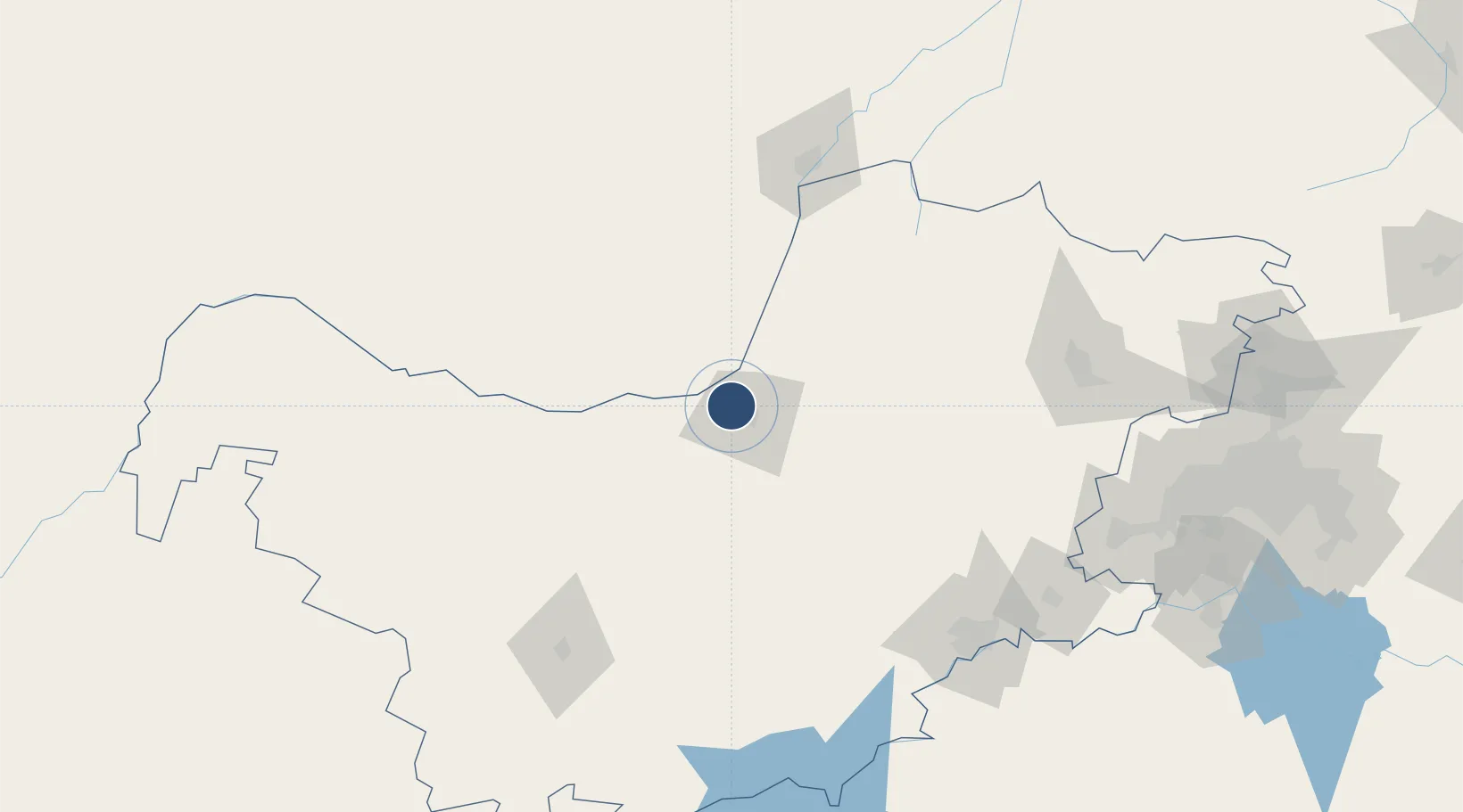
-25.7984°, 25.5480°
15,157 ft
Longest runway
1
Runways
4,181 ft
Elevation
Runway & Layout

Radio Frequencies
TWR
119.3 MHz
APP
119.3 MHz
Navaids
MH NDB Mafikeng 305 kHz
MMV VOR-DME Mafikeng 112.90 MHz
Runways · 1
| Runway | Dimensions | Surface | True heading | Lit |
|---|---|---|---|---|
| 04/22 | 15,157 × 148ft | Asphalt | 023° | ✓ |
Airport Specifications
IATA code
MBD
ICAO code
FAMM
Airport class
Medium airport
Scheduled service
Yes
Runway surface
Asphalt
Served city
Mafeking
Location
Nearby Logistics Neighbours
Airports
- 1Morningside Farm Airport137 km
- 2Sir Seretse Khama International Airport143 km
- 3Vryburg Airport155 km
- 4Jwaneng Airport159 km
- 5P C Pelser Airport167 km
Cities
- 1Zeerust61 km
- 2East End71 km
- 3Ramotswa107 km
- 4Gaborone131 km
- 5Gaberones Camp131 km
Ports
- 1Maputo700 km
- 2Durban706 km
- 3Richards Bay729 km
- 4East London837 km
- 5Port Elizabeth907 km
DatabookThe Record of Consolidated Knowledge
South Africa beyond logistics?