Transport Functions
Road
Airport
Multimodal
Postal
Hub Profile
Place type
National capital
Region
Gaborone
Population
246,325
Time zone
Africa/Gaborone
Elevation
1,011 m
Logistics facilities
1
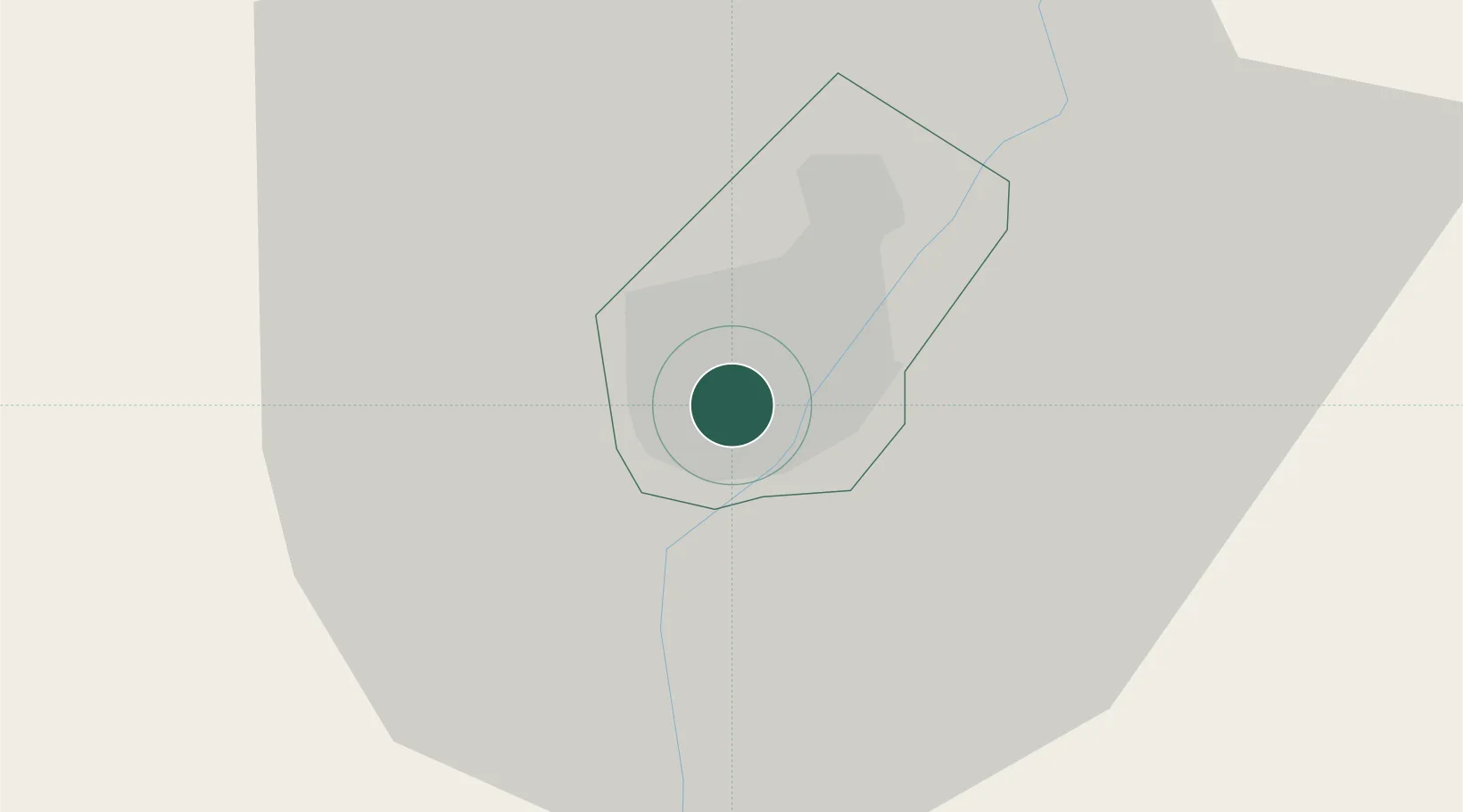
Location
Nearby Logistics Neighbours
Cities
- 1Gaberones Camp2 km
- 2Ramotswa24 km
- 3Zeerust98 km
- 4East End164 km
- 5Mahalapye198 km
Ports
- 1Maputo683 km
- 2Richards Bay769 km
- 3Durban771 km
- 4East London951 km
- 5Inhambane966 km
Airports
DatabookThe Record of Consolidated Knowledge
Botswana beyond logistics?