Runway & Layout

Airport Specifications
IATA code
MHM
ICAO code
AGOB
Airport class
Small airport
Scheduled service
Yes
Served city
Manaoba
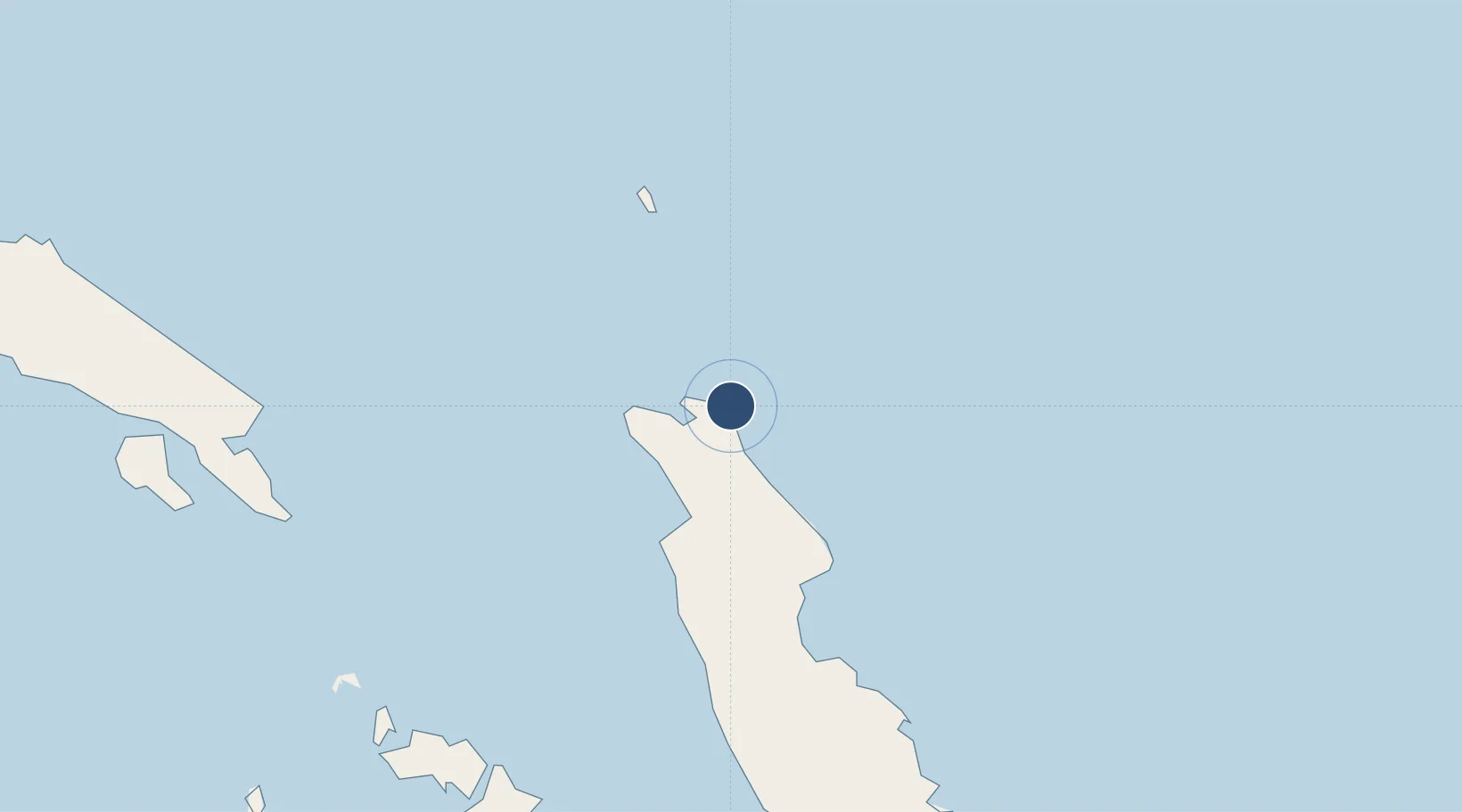
Location
Nearby Logistics Neighbours
Airports
- 1Gwaunaru'u Airport44 km
- 2Fera/Maringe Airport137 km
- 3Honiara International Airport148 km
- 4Marau Airport171 km
- 5Yandina Airport194 km
Cities
- 1Honiara, Guadalcanal Is154 km
- 2Yandina, Russell Island195 km
- 3Lever Harbour354 km
- 4Noro, New Georgia397 km
- 5Ringgi Cove, Kolombangara406 km
Ports
- 1Tulaghi112 km
- 2Honiara153 km
- 3Yandina193 km
- 4Port Noro398 km
- 5Ringgi Cove408 km
Trade Zones
DatabookThe Record of Consolidated Knowledge
Solomon Islands beyond logistics?