Free Trade Zone · Saudi Arabia

Tabuk Tabō«k Industrial City Active
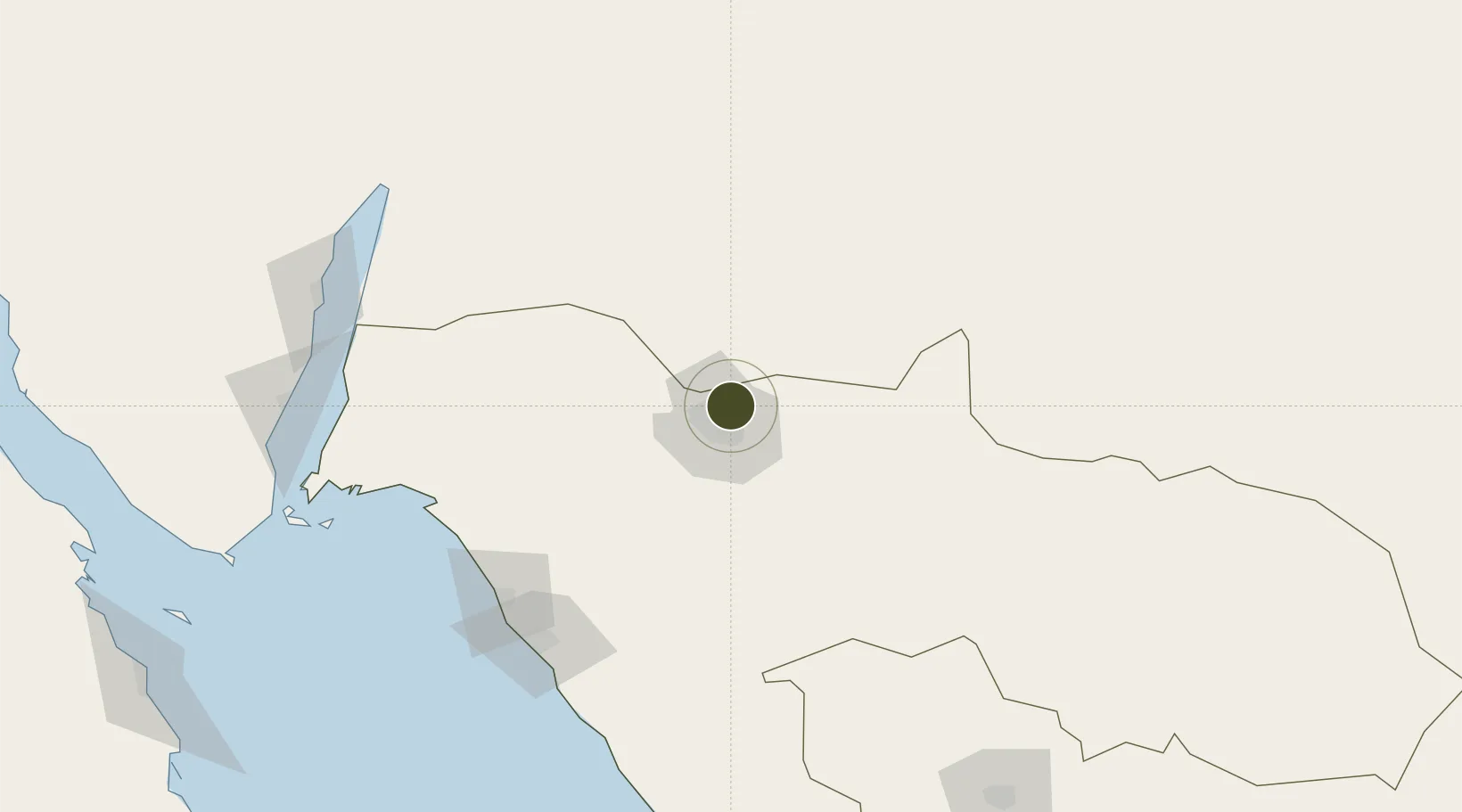
28.4957°, 36.6345°
400 ha
Zone area
149.5 km
Nearest port
13.9 km
Nearest airport

Gateway access

Nearest neighbours — logibook spatial index (haversine) over the source coordinates

Zone profile

Zone type
Free Trade Zone
Open Zone Map
Region
Tabuk
Open Zone Map
Status
Active
Open Zone Map
Management
Public
Open Zone Map
Operator
Saudi Authority for Industrial Estates and Technology Zones
Open Zone Map
Legal framework
Ministerial Legislation No. 235 dated 27/8/1422H
Open Zone Map

Location

Location of ozm-4070
Natural Earth 10m (public domain) · Tabuk · ozm-4070 · 28.50, 36.63GoogleOSMYandex

Nearby Logistics Neighbours

Ports
  1. 1Duba150 km
  2. 2Al Aqabah195 km
  3. 3Nuwaybi'201 km
  4. 4Elat201 km
  5. 5Sharm El Sheikh241 km
Nearest neighbours — logibook spatial index (haversine) over the source coordinates
Airports
  1. 1Prince Sultan bin Abdulaziz International Airport14 km
  2. 2Neom Bay Airport146 km
  3. 3King Hussein International Airport200 km
  4. 4Ramon International Airport209 km
  5. 5King Feisal Air Base211 km
Nearest neighbours — logibook spatial index (haversine) over the source coordinates
Cities
  1. 1Neom148 km
  2. 2Port of NEOM149 km
  3. 3Al Khuraibah152 km
  4. 4Al 'Aqabah191 km
  5. 5'Aqaba195 km
Nearest neighbours — logibook spatial index (haversine) over the source coordinates
Trade Zones
  1. 1NEOM82 km
  2. 2Red Sea Project191 km
  3. 3Aqaba Special Economic Zone197 km
  4. 4Aqaba International Industrial Estate199 km
  5. 5Eilat Free Port Zone202 km
Nearest neighbours — logibook spatial index (haversine) over the source coordinates
DatabookThe Record of Consolidated Knowledge
Saudi Arabia beyond logistics?
Browse databook

All Sources

Trade ZonesOpen Zone Map
CC BY
Portsthe NGA World Port Index
Public domain (US gov)
AirportsOurAirports
Public domain
LocationsUN/LOCODE
UN/LOCODE — free
← Saudi Arabia trade zones