UN/LOCODE hub · Saudi Arabia
SANEO

Neom

27.5667°, 35.5500°
6
Transport functions

Transport Functions

Port
Rail
Road
Airport
Multimodal
Fixed Transport
UN/LOCODE

Hub Profile

Place type
Populated place
GeoNames
Region
Tabuk Region
GeoNames
Time zone
Asia/Riyadh
GeoNames
Elevation
13 m
GeoNames

Location

Location of SANEO
Natural Earth 10m (public domain) · Tabuk Region · SANEO · 27.57, 35.55GoogleOSMYandex

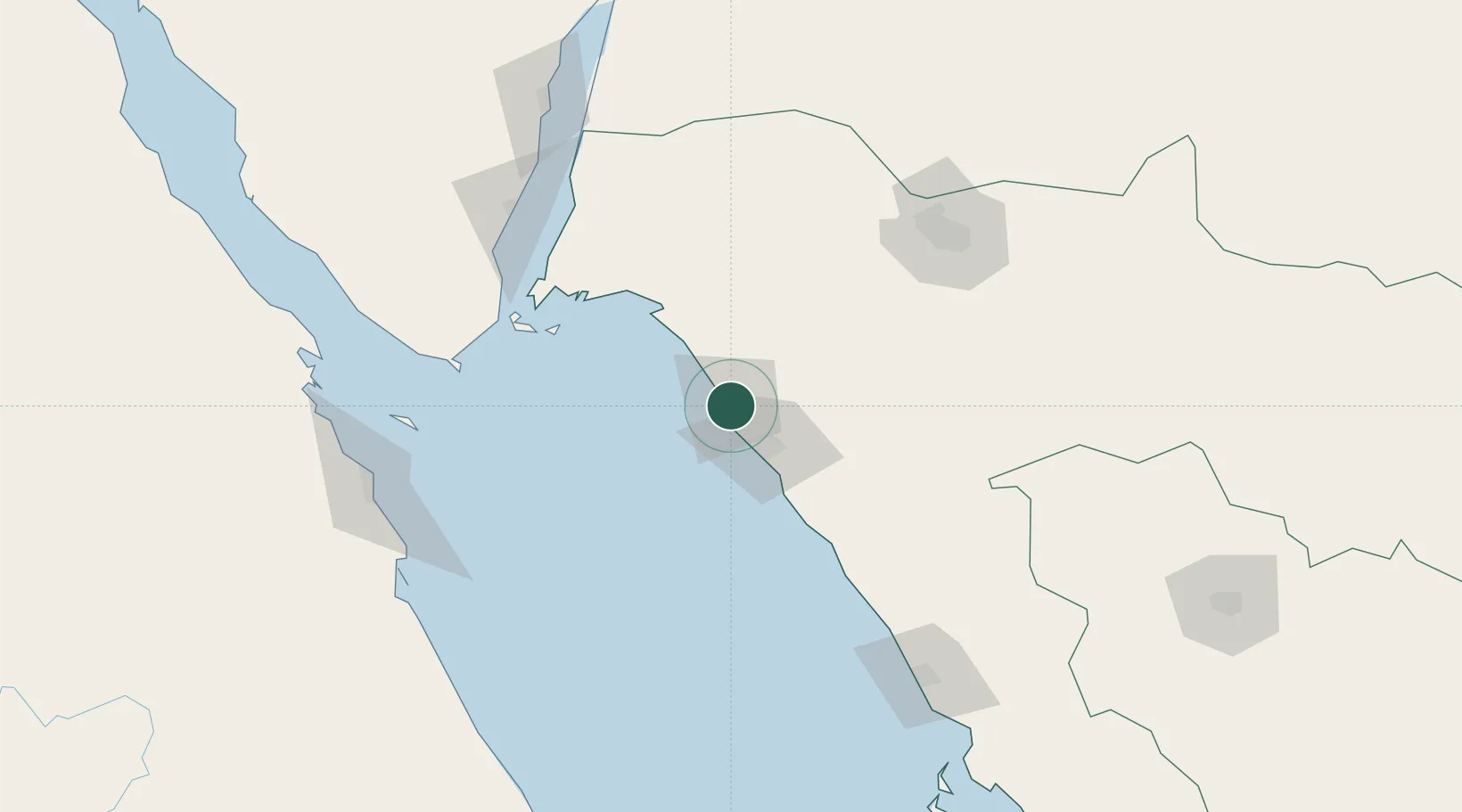
Nearby Logistics Neighbours

Cities
  1. 1Port of NEOM1 km
  2. 2Al Khuraibah66 km
  3. 3Sharm ash Shaykh129 km
  4. 4Soma Bay Marina174 km
  5. 5Nuwaiba179 km
Nearest neighbours — logibook spatial index (haversine) over the source coordinates
Ports
  1. 1Duba2 km
  2. 2Sharm El Sheikh129 km
  3. 3El Ghardaqa172 km
  4. 4Nuwaybi'179 km
  5. 5Safaja183 km
Nearest neighbours — logibook spatial index (haversine) over the source coordinates
Airports
  1. 1Neom Bay Airport47 km
  2. 2Sharm El Sheikh International Airport123 km
  3. 3Prince Sultan bin Abdulaziz International Airport138 km
  4. 4Al Wajh Domestic Airport178 km
  5. 5Hurghada International Airport179 km
Nearest neighbours — logibook spatial index (haversine) over the source coordinates
Trade Zones
  1. 1Red Sea Project97 km
  2. 2Tabuk Tabō«k Industrial City148 km
  3. 3NEOM161 km
  4. 4Safaga Free Zone183 km
  5. 5Aqaba Special Economic Zone227 km
Nearest neighbours — logibook spatial index (haversine) over the source coordinates
DatabookThe Record of Consolidated Knowledge
Saudi Arabia beyond logistics?
Browse databook

All Sources

LocationsUN/LOCODE
UN/LOCODE — free
Portsthe NGA World Port Index
Public domain (US gov)
AirportsOurAirports
Public domain
Trade Zonesthe World Bank SEZ database
CC BY 4.0
Trade ZonesOpen Zone Map
CC BY
← Saudi Arabia locations