Channel & Berth Profile
Pilotage, Tugs & Services
Pilotage compulsoryYES
Pilotage availableYES
Salvage tugsYES
Potable waterYES
MedicalYES
Facilities & Capabilities
Container—
Ro-Ro—
Liquid bulk—
Dry bulk—
Oil terminal—
Break bulk—
Dry dock—
RepairsNO
BunkeringYES
Rail link—
Dangerous cargo—
ISPS security—
Harbour Specifications
Harbour size
Very Small
Harbour type
Open Roadstead
Shelter
Poor
Water body
Red Sea; Indian Ocean
Tidal range
2 m
Pilotage
Yes
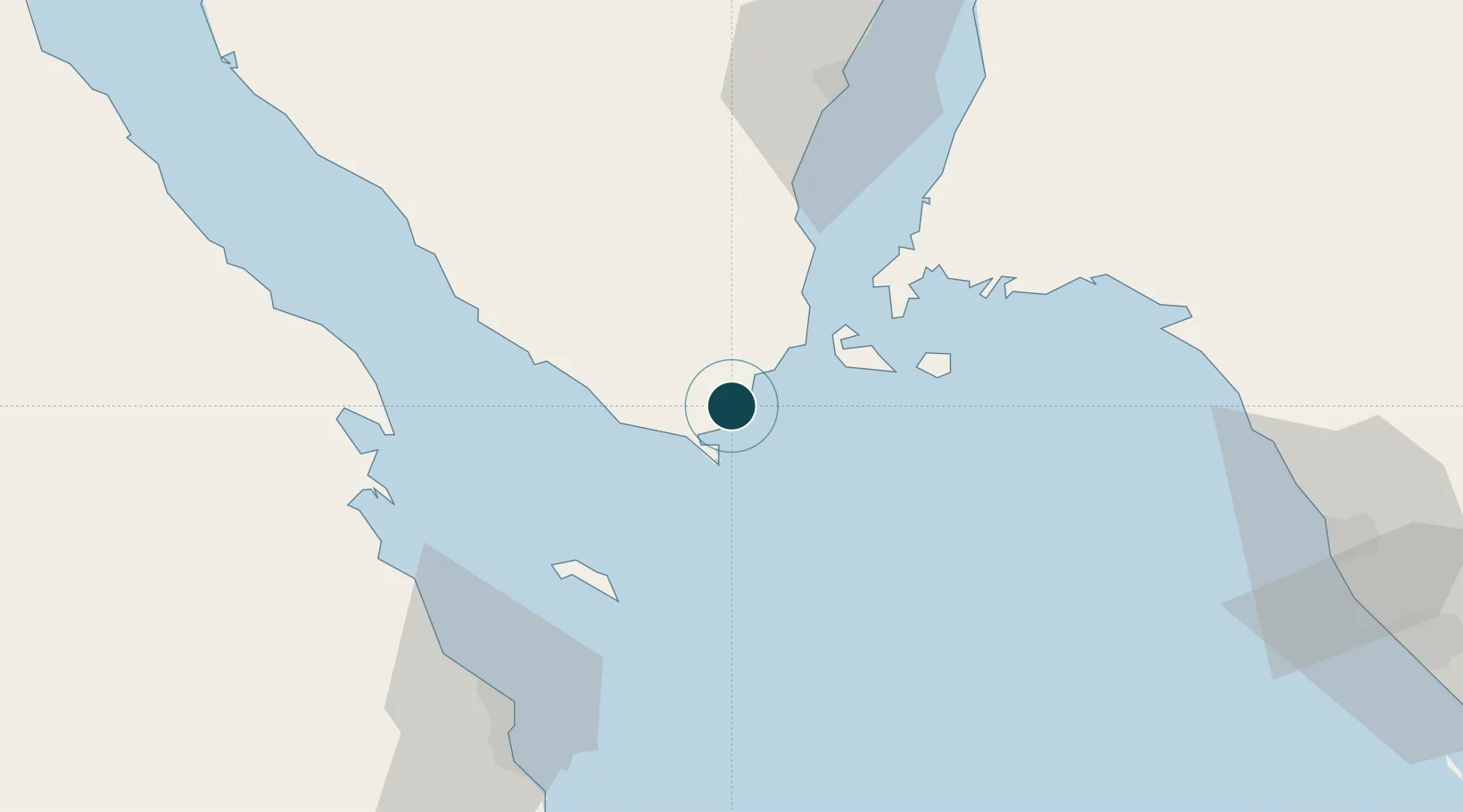
Location
Nearby Logistics Neighbours
Ports
- 1Zeit Bay Terminal67 km
- 2At Tur78 km
- 3El Ghardaqa82 km
- 4Ras Shukhier103 km
- 5Duba127 km
Cities
- 1El Tor78 km
- 2El-Guna (El Gouna)80 km
- 3Al Khuraibah90 km
- 4Soma Bay Marina115 km
- 5Neom129 km
Airports
Trade Zones
- 1Red Sea Project51 km
- 2Safaga Free Zone127 km
- 3Eilat Free Port Zone197 km
- 4Aqaba Special Economic Zone202 km
- 5Shkhoret Industrial Zone204 km
DatabookThe Record of Consolidated Knowledge
Egypt beyond logistics?