Seaport · Jordan
Al AqabahJOAQJ
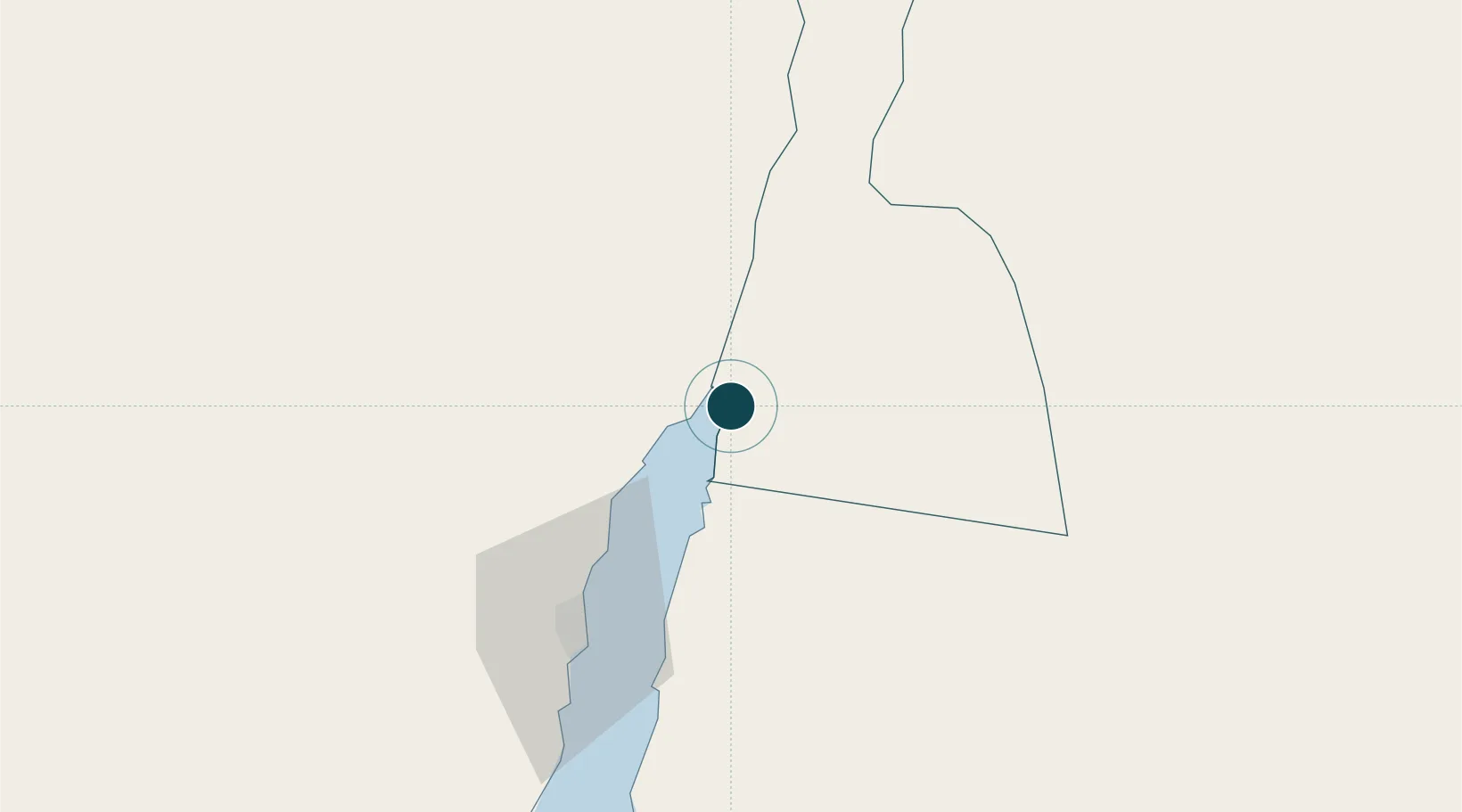
29.5167°, 35.0000°
23.2 m
Channel depth
1
Container terminals
173.2
Port liner connectivity
Channel & Berth Profile
Pilotage, Tugs & Services
Pilotage compulsoryYES
Pilotage availableYES
Pilotage advisableYES
Local assistanceYES
Tug assistanceYES
Salvage tugsNO
Shore powerYES
Potable waterYES
Diesel bunkersYES
MedicalYES
Garbage disposalYES
Facilities & Capabilities
Container—
Ro-Ro—
Liquid bulk—
Dry bulk—
Oil terminal—
Break bulk—
Dry dock—
RepairsNO
BunkeringYES
Rail linkYES
Dangerous cargo—
ISPS security—
Harbour Specifications
Harbour size
Very Small
Harbour type
Open Roadstead
Shelter
Poor
Water body
Gulf of Aqaba; Red Sea; Indian Ocean
Tidal range
1.2 m
Pilotage
Yes
Liner Connectivity
173.2
PLSCI
Port Liner Shipping Connectivity Index for Al Aqabah, as published by UNCTAD for the latest available quarter. Higher values indicate stronger scheduled liner-shipping integration.
Shown relative to the highest per-port PLSCI in the dataset (1,657.9).
Location
Container Terminals · 1
AQABA CONTAINER TERMINAL
ACT
Nearby Logistics Neighbours
Ports
- 1Elat6 km
- 2Nuwaybi'70 km
- 3Ras Badran Oil Terminal189 km
- 4Ras Abu Zanimah190 km
- 5Wadi Feiran195 km
Cities
- 1'Aqaba0 km
- 2Red Sea Security6 km
- 3Nuwaiba70 km
- 4South Sinai (Ganoub Sinai)104 km
- 5Al Khuraibah164 km
Airports
Trade Zones
DatabookThe Record of Consolidated Knowledge
Jordan beyond logistics?