Free Trade Zone · Israel

Eilat Free Port Zone Active
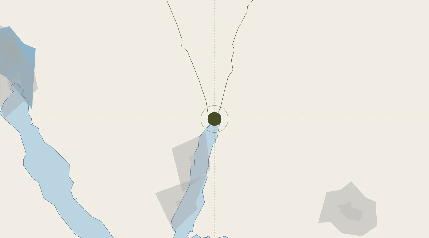
29.5321°, 34.9240°
8,478 ha
Zone area
3.2 km
Nearest port
12.7 km
Nearest airport

Gateway access

Nearest neighbours — logibook spatial index (haversine) over the source coordinates

Zone profile

Zone type
Free Trade Zone
Open Zone Map
Region
HaDarom
Open Zone Map
Status
Active
Open Zone Map
Management
Public
Open Zone Map
Operator
Eilat Economic Company (HCA) Ltd
Open Zone Map
Legal framework
Free Ports Areas Act of 1969 https://www.wto.org/gatt_docs/English/SULPDF/91830063.pdf
Open Zone Map

Location

Location of ozm-2529
Natural Earth 10m (public domain) · HaDarom · ozm-2529 · 29.53, 34.92GoogleOSMYandex

Nearby Logistics Neighbours

Ports
  1. 1Elat3 km
  2. 2Al Aqabah8 km
  3. 3Nuwaybi'68 km
  4. 4Ras Badran Oil Terminal182 km
  5. 5Ras Abu Zanimah184 km
Nearest neighbours — logibook spatial index (haversine) over the source coordinates
Airports
  1. 1King Hussein International Airport13 km
  2. 2Taba International Airport16 km
  3. 3Ramon International Airport23 km
  4. 4Saint Catherine International Airport126 km
  5. 5Ramon Air Base141 km
Nearest neighbours — logibook spatial index (haversine) over the source coordinates
Cities
  1. 1Red Sea Security3 km
  2. 2'Aqaba8 km
  3. 3Al 'Aqabah11 km
  4. 4Nuwaiba68 km
  5. 5South Sinai (Ganoub Sinai)97 km
Nearest neighbours — logibook spatial index (haversine) over the source coordinates
Trade Zones
  1. 1Shkhoret Industrial Zone7 km
  2. 2Aqaba Special Economic Zone9 km
  3. 3Aqaba International Industrial Estate12 km
  4. 4Al Muhammadiyah Development Zone97 km
  5. 5Maan Maʿān Development Area97 km
Nearest neighbours — logibook spatial index (haversine) over the source coordinates
DatabookThe Record of Consolidated Knowledge
Israel beyond logistics?
Browse databook

All Sources

Trade ZonesOpen Zone Map
CC BY
Portsthe NGA World Port Index
Public domain (US gov)
AirportsOurAirports
Public domain
LocationsUN/LOCODE
UN/LOCODE — free
← Israel trade zones