Aqaba Special Economic Zone · Jordan

Aqaba Special Economic Zone Active
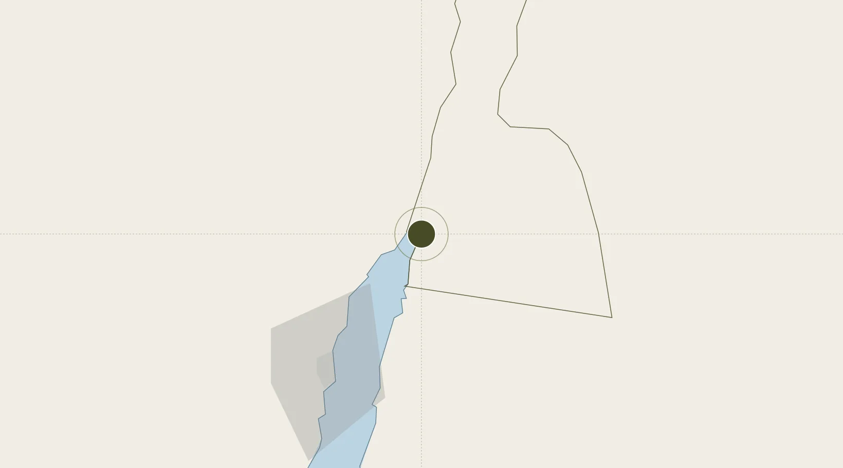
29.5507°, 35.0134°
37,500 ha
Zone area
4.0 km
Nearest port
6.8 km
Nearest airport

Gateway access

Nearest neighbours — logibook spatial index (haversine) over the source coordinates

Zone profile

Zone type
Aqaba Special Economic Zone
the World Bank SEZ database
Region
Aqaba
the World Bank SEZ database
Status
Active
the World Bank SEZ database
Established
2001
the World Bank SEZ database
Management
Public agency
the World Bank SEZ database
Operator
Aqaba Special Economic Zones Authority
the World Bank SEZ database
Regulatory authority
Aqaba Special Economic Zones Authority (ASEZA)
the World Bank SEZ database
Legal framework
Aqaba Special Economic Zones Law
the World Bank SEZ database

Location

Location of JDN1
Natural Earth 10m (public domain) · Aqaba · JDN1 · 29.55, 35.01GoogleOSMYandex

Fiscal & incentives

Corporate tax
20%
the World Bank SEZ database
Tax relief
Reduced fixed-rate at 5%
the World Bank SEZ database
Relief duration
Perpetual
the World Bank SEZ database
VAT
No exemption
the World Bank SEZ database
Import duty (inputs)
100% exempt
the World Bank SEZ database
Import duty (capex)
100% exempt
the World Bank SEZ database
Profit repatriation
No exemption
the World Bank SEZ database
Capital gains
No exemption
the World Bank SEZ database
Withholding tax
100% exempt from tax on dividends
the World Bank SEZ database
Min. investment
None
the World Bank SEZ database
Min. export
0%
the World Bank SEZ database
Employment incentive
100% exempt from payroll tax
the World Bank SEZ database
Developer incentive
Yes
the World Bank SEZ database

Nearby Logistics Neighbours

Ports
  1. 1Al Aqabah4 km
  2. 2Elat6 km
  3. 3Nuwaybi'74 km
  4. 4Ras Badran Oil Terminal191 km
  5. 5Ras Abu Zanimah193 km
Nearest neighbours — logibook spatial index (haversine) over the source coordinates
Airports
  1. 1King Hussein International Airport7 km
  2. 2Ramon International Airport20 km
  3. 3Taba International Airport24 km
  4. 4Saint Catherine International Airport133 km
  5. 5Ramon Air Base140 km
Nearest neighbours — logibook spatial index (haversine) over the source coordinates
Cities
  1. 1'Aqaba4 km
  2. 2Red Sea Security6 km
  3. 3Al 'Aqabah8 km
  4. 4Nuwaiba74 km
  5. 5South Sinai (Ganoub Sinai)104 km
Nearest neighbours — logibook spatial index (haversine) over the source coordinates
Trade Zones
  1. 1Aqaba International Industrial Estate6 km
  2. 2Eilat Free Port Zone9 km
  3. 3Shkhoret Industrial Zone10 km
  4. 4Al Muhammadiyah Development Zone91 km
  5. 5Maan Maʿān Development Area91 km
Nearest neighbours — logibook spatial index (haversine) over the source coordinates
DatabookThe Record of Consolidated Knowledge
Jordan beyond logistics?
Browse databook

All Sources

Trade Zonesthe World Bank SEZ database
CC BY 4.0
Portsthe NGA World Port Index
Public domain (US gov)
AirportsOurAirports
Public domain
LocationsUN/LOCODE
UN/LOCODE — free
← Jordan trade zones