UN/LOCODE hub · Jordan
JOAQJ

Al 'Aqabah

29.4764°, 35.0193°
2
Transport functions

Transport Functions

Port
Airport
Al 'Aqabah is also a profiled seaport →
UN/LOCODE

Hub Profile

Logistics facilities
5
UN/LOCODE

Location

Location of JOAQJ
Natural Earth 10m (public domain) · Aqaba · JOAQJ · 29.48, 35.02GoogleOSMYandex

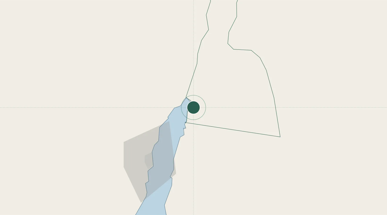
Nearby Logistics Neighbours

Cities
  1. 1'Aqaba5 km
  2. 2Red Sea Security11 km
  3. 3Nuwaiba67 km
  4. 4South Sinai (Ganoub Sinai)108 km
  5. 5Al Khuraibah159 km
Nearest neighbours — logibook spatial index (haversine) over the source coordinates
Ports
  1. 1Elat11 km
  2. 2Nuwaybi'67 km
  3. 3Ras Badran Oil Terminal189 km
  4. 4Ras Abu Zanimah191 km
  5. 5Wadi Feiran194 km
Nearest neighbours — logibook spatial index (haversine) over the source coordinates
Airports
  1. 1King Hussein International Airport15 km
  2. 2Taba International Airport27 km
  3. 3Ramon International Airport28 km
  4. 4Saint Catherine International Airport128 km
  5. 5King Feisal Air Base145 km
Nearest neighbours — logibook spatial index (haversine) over the source coordinates
Trade Zones
  1. 1Aqaba Special Economic Zone8 km
  2. 2Eilat Free Port Zone11 km
  3. 3Aqaba International Industrial Estate14 km
  4. 4Shkhoret Industrial Zone16 km
  5. 5Al Muhammadiyah Development Zone97 km
Nearest neighbours — logibook spatial index (haversine) over the source coordinates
DatabookThe Record of Consolidated Knowledge
Jordan beyond logistics?
Browse databook

All Sources

LocationsUN/LOCODE
UN/LOCODE — free
Portsthe NGA World Port Index
Public domain (US gov)
AirportsOurAirports
Public domain
Trade Zonesthe World Bank SEZ database
CC BY 4.0
Trade ZonesOpen Zone Map
CC BY
← Jordan locations