Seaport · Saudi Arabia
DubaSADHU
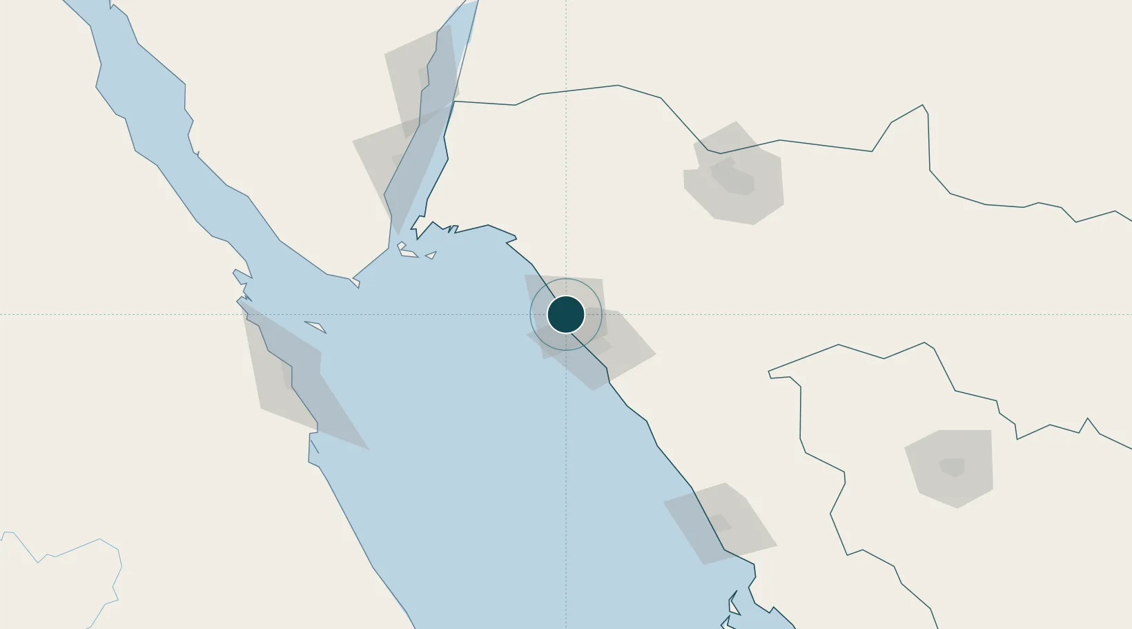
27.5667°, 35.5333°
11.0 m
Channel depth
1
Container terminals
9.5
Port liner connectivity
Channel & Berth Profile
Pilotage, Tugs & Services
Pilotage compulsoryYES
Pilotage availableYES
Tug assistanceYES
Potable waterYES
MedicalYES
Facilities & Capabilities
Container—
Ro-Ro—
Liquid bulk—
Dry bulk—
Oil terminal—
Break bulk—
Dry dock—
Repairs—
Bunkering—
Rail link—
Dangerous cargo—
ISPS security—
Harbour Specifications
Harbour size
Small
Harbour type
Open Roadstead
Shelter
Poor
Water body
Red Sea; Indian Ocean
Tidal range
1.5 m
Pilotage
Yes
Liner Connectivity
9.5
PLSCI
Port Liner Shipping Connectivity Index for Duba, as published by UNCTAD for the latest available quarter. Higher values indicate stronger scheduled liner-shipping integration.
Shown relative to the highest per-port PLSCI in the dataset (1,657.9).
Location
Container Terminals · 1
DHUBA PORT
DHU NEOM
Nearby Logistics Neighbours
Ports
- 1Sharm El Sheikh127 km
- 2El Ghardaqa171 km
- 3Nuwaybi'178 km
- 4Safaja182 km
- 5Zeit Bay Terminal193 km
Cities
- 1Neom2 km
- 2Al Khuraibah65 km
- 3Sharm ash Shaykh128 km
- 4Soma Bay Marina173 km
- 5Nuwaiba178 km
Airports
Trade Zones
- 1Red Sea Project96 km
- 2Tabuk Tabō«k Industrial City150 km
- 3NEOM161 km
- 4Safaga Free Zone182 km
- 5Aqaba Special Economic Zone226 km
DatabookThe Record of Consolidated Knowledge
Saudi Arabia beyond logistics?