Free Trade Zone · Saudi Arabia

Red Sea Project Under Development
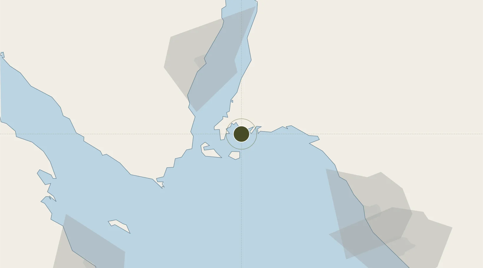
28.0674°, 34.7426°
280,000 ha
Zone area
51.2 km
Nearest port
35.6 km
Nearest airport

Gateway access

Nearest neighbours — logibook spatial index (haversine) over the source coordinates

Zone profile

Zone type
Free Trade Zone
Open Zone Map
Region
Janub Sina'
Open Zone Map
Status
Under Development
Open Zone Map
Management
Public
Open Zone Map
Operator
The Red Sea Development Company
Open Zone Map
Legal framework
Saudi Arabian Public Investment Fund (PIF): established 1971: Royal Decree M/24
Open Zone Map

Location

Location of ozm-4103
Natural Earth 10m (public domain) · Janub Sina' · ozm-4103 · 28.07, 34.74GoogleOSMYandex

Nearby Logistics Neighbours

Ports
  1. 1Sharm El Sheikh51 km
  2. 2Duba96 km
  3. 3Nuwaybi'100 km
  4. 4At Tur112 km
  5. 5Zeit Bay Terminal115 km
Nearest neighbours — logibook spatial index (haversine) over the source coordinates
Airports
  1. 1Sharm El Sheikh International Airport36 km
  2. 2Neom Bay Airport56 km
  3. 3Saint Catherine International Airport95 km
  4. 4Hurghada International Airport136 km
  5. 5Taba International Airport170 km
Nearest neighbours — logibook spatial index (haversine) over the source coordinates
Cities
  1. 1Al Khuraibah42 km
  2. 2Sharm ash Shaykh50 km
  3. 3Neom97 km
  4. 4Port of NEOM98 km
  5. 5Nuwaiba100 km
Nearest neighbours — logibook spatial index (haversine) over the source coordinates
Trade Zones
  1. 1NEOM157 km
  2. 2Eilat Free Port Zone164 km
  3. 3Safaga Free Zone166 km
  4. 4Aqaba Special Economic Zone167 km
  5. 5Shkhoret Industrial Zone171 km
Nearest neighbours — logibook spatial index (haversine) over the source coordinates
DatabookThe Record of Consolidated Knowledge
Saudi Arabia beyond logistics?
Browse databook

All Sources

Trade ZonesOpen Zone Map
CC BY
Portsthe NGA World Port Index
Public domain (US gov)
AirportsOurAirports
Public domain
LocationsUN/LOCODE
UN/LOCODE — free
← Saudi Arabia trade zones