Large airport · Jordan

King Hussein International AirportOJAQ
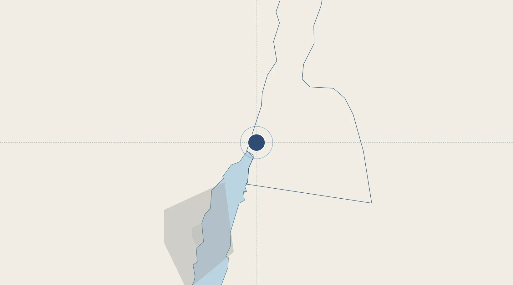
29.6116°, 35.0181°
9,855 ft
Longest runway
1
Runways
175 ft
Elevation

Runway & Layout

King Hussein International Airport runway & taxiway layout
Runway & taxiway layout — OpenStreetMap (ODbL) / OurAirports

Radio Frequencies

TWR
118.1 MHz
GND
121.9 MHz
APP
119.2 MHz
MISC
121.6 MHz
CIVIL DEFENSE
OurAirports

Navaids

AQ NDB Aqaba 404 kHz
AQA NDB Aqaba 418 kHz
AQB VOR-DME Aqaba 113.10 MHz
AQC NDB Aqaba 326 kHz
OurAirports

Runways · 1

RunwayDimensions SurfaceTrue headingLit
01/19 9,855 × 148ft Asphalt 019°
OurAirports

Airport Specifications

IATA code
AQJ
OurAirports
ICAO code
OJAQ
OurAirports
Airport class
Large airport
OurAirports
Scheduled service
Yes
OurAirports
Runway surface
Asphalt
OurAirports
Served city
Aqaba
OurAirports

Location

Location of OJAQ
Natural Earth 10m (public domain) · Aqaba · OJAQ · 29.61, 35.02GoogleOSMYandex

Nearby Logistics Neighbours

Airports
  1. 1Ramon International Airport13 km
  2. 2Taba International Airport24 km
  3. 3Ramon Air Base134 km
  4. 4King Feisal Air Base136 km
  5. 5Saint Catherine International Airport139 km
Nearest neighbours — logibook spatial index (haversine) over the source coordinates
Cities
  1. 1Red Sea Security10 km
  2. 2'Aqaba11 km
  3. 3Al 'Aqabah15 km
  4. 4Nuwaiba80 km
  5. 5South Sinai (Ganoub Sinai)102 km
Nearest neighbours — logibook spatial index (haversine) over the source coordinates
Ports
  1. 1Elat10 km
  2. 2Al Aqabah11 km
  3. 3Nuwaybi'80 km
  4. 4Ras Badran Oil Terminal194 km
  5. 5Ras Abu Zanimah195 km
Nearest neighbours — logibook spatial index (haversine) over the source coordinates
Trade Zones
  1. 1Aqaba International Industrial Estate2 km
  2. 2Aqaba Special Economic Zone7 km
  3. 3Shkhoret Industrial Zone10 km
  4. 4Eilat Free Port Zone13 km
  5. 5Al Muhammadiyah Development Zone85 km
Nearest neighbours — logibook spatial index (haversine) over the source coordinates
DatabookThe Record of Consolidated Knowledge
Jordan beyond logistics?
Browse databook

All Sources

AirportsOurAirports
Public domain
Portsthe NGA World Port Index
Public domain (US gov)
LocationsUN/LOCODE
UN/LOCODE — free
Trade Zonesthe World Bank SEZ database
CC BY 4.0
Trade ZonesOpen Zone Map
CC BY
InfrastructureOpenStreetMap
ODbL 1.0
← Jordan airports