Large airport · Israel

Ramon International AirportLLER
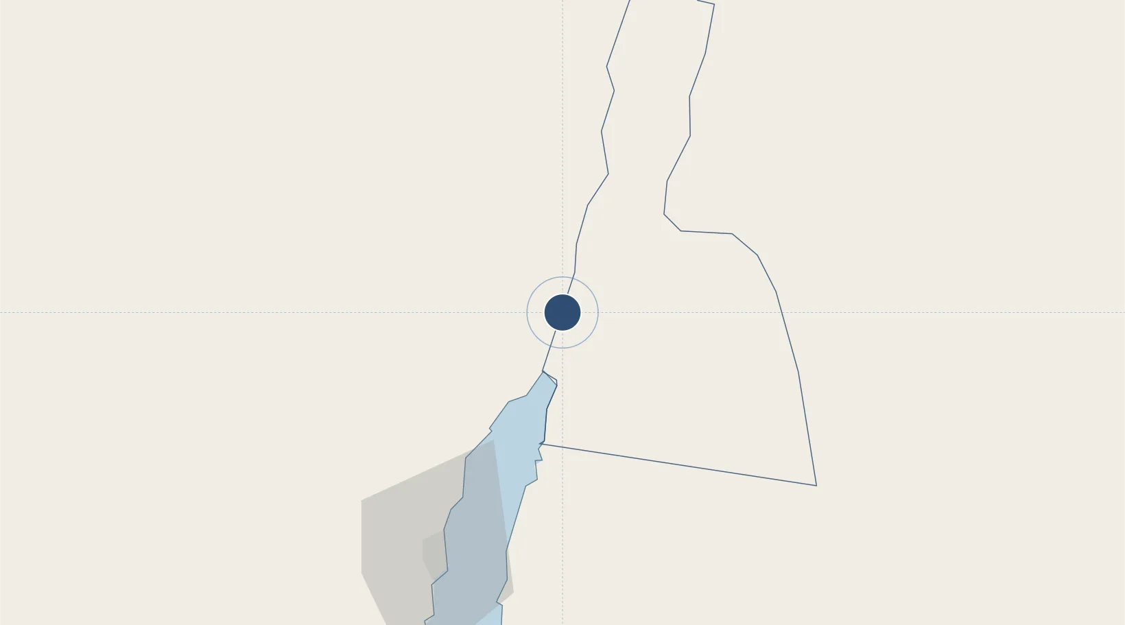
29.7270°, 35.0141°
11,811 ft
Longest runway
1
Runways
288 ft
Elevation

Runway & Layout

Ramon International Airport runway & taxiway layout
Runway & taxiway layout — OpenStreetMap (ODbL) / OurAirports

Runways · 1

RunwayDimensions SurfaceTrue headingLit
01/19 11,811 × —ft
OurAirports

Airport Specifications

IATA code
ETM
OurAirports
ICAO code
LLER
OurAirports
Airport class
Large airport
OurAirports
Scheduled service
Yes
OurAirports
Served city
Eilat
OurAirports

Location

Location of LLER
Natural Earth 10m (public domain) · Aqaba · LLER · 29.73, 35.01GoogleOSMYandex

Nearby Logistics Neighbours

Airports
  1. 1King Hussein International Airport13 km
  2. 2Taba International Airport27 km
  3. 3Ramon Air Base121 km
  4. 4King Feisal Air Base129 km
  5. 5Saint Catherine International Airport148 km
Nearest neighbours — logibook spatial index (haversine) over the source coordinates
Cities
  1. 1Red Sea Security21 km
  2. 2'Aqaba23 km
  3. 3Al 'Aqabah28 km
  4. 4Nuwaiba92 km
  5. 5South Sinai (Ganoub Sinai)99 km
Nearest neighbours — logibook spatial index (haversine) over the source coordinates
Ports
  1. 1Elat21 km
  2. 2Al Aqabah23 km
  3. 3Nuwaybi'92 km
  4. 4Al Arish195 km
  5. 5Ras Badran Oil Terminal199 km
Nearest neighbours — logibook spatial index (haversine) over the source coordinates
Trade Zones
  1. 1Aqaba International Industrial Estate14 km
  2. 2Shkhoret Industrial Zone17 km
  3. 3Aqaba Special Economic Zone20 km
  4. 4Eilat Free Port Zone23 km
  5. 5Al Muhammadiyah Development Zone75 km
Nearest neighbours — logibook spatial index (haversine) over the source coordinates
DatabookThe Record of Consolidated Knowledge
Israel beyond logistics?
Browse databook

All Sources

AirportsOurAirports
Public domain
Portsthe NGA World Port Index
Public domain (US gov)
LocationsUN/LOCODE
UN/LOCODE — free
Trade Zonesthe World Bank SEZ database
CC BY 4.0
Trade ZonesOpen Zone Map
CC BY
InfrastructureOpenStreetMap
ODbL 1.0
← Israel airports