Transport Functions
Port
Road
Hub Profile
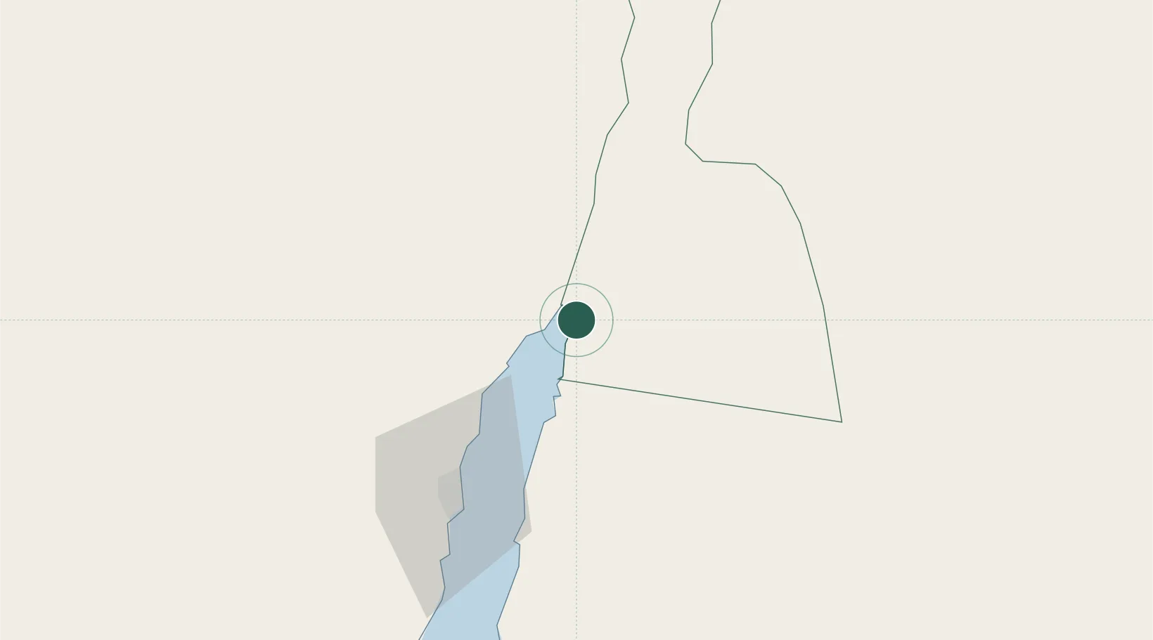
Place type
Regional capital
Region
Aqaba
Population
95,048
Time zone
Asia/Amman
Elevation
46 m
Location
Nearby Logistics Neighbours
Cities
- 1Al 'Aqabah5 km
- 2Red Sea Security6 km
- 3Nuwaiba70 km
- 4South Sinai (Ganoub Sinai)104 km
- 5Al Khuraibah164 km
Ports
- 1Al Aqabah0 km
- 2Elat6 km
- 3Nuwaybi'70 km
- 4Ras Badran Oil Terminal189 km
- 5Ras Abu Zanimah190 km
Airports
Trade Zones
DatabookThe Record of Consolidated Knowledge
Jordan beyond logistics?