Large airport · Saudi Arabia
Prince Sultan bin Abdulaziz International AirportOETB
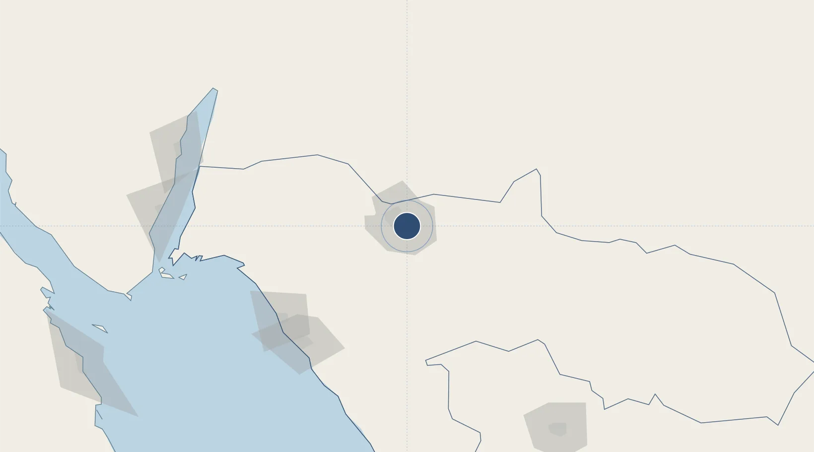
28.3711°, 36.6249°
10,991 ft
Longest runway
2
Runways
2,551 ft
Elevation
Runway & Layout

Radio Frequencies
ATIS
115.7 MHz
TWR
125.9 MHz
GND
126.3 MHz
CLD
128.75 MHz
CLNC DEL
APP
24.59 MHz
APP
119.7 MHz
POST
913 MHz
HOTEL 8
Navaids
TBK VORTAC Tabuk 115.70 MHz
Runways · 2
| Runway | Dimensions | Surface | True heading | Lit |
|---|---|---|---|---|
| 06/24 | 10,991 × 148ft | Asphalt | 065° | ✓ |
| 13/31 | 10,007 × 148ft | Asphalt | 133° | ✓ |
Airport Specifications
IATA code
TUU
ICAO code
OETB
Airport class
Large airport
Scheduled service
Yes
Runway surface
Asphalt
Served city
Tabuk
Location
Nearby Logistics Neighbours
Airports
- 1Neom Bay Airport140 km
- 2King Hussein International Airport208 km
- 3Ramon International Airport217 km
- 4Sharm El Sheikh International Airport223 km
- 5King Feisal Air Base224 km
Cities
- 1Neom138 km
- 2Port of NEOM139 km
- 3Al Khuraibah147 km
- 4Al 'Aqabah199 km
- 5'Aqaba203 km
Ports
- 1Duba140 km
- 2Al Aqabah203 km
- 3Nuwaybi'204 km
- 4Elat209 km
- 5Sharm El Sheikh237 km
Trade Zones
- 1Tabuk Tabō«k Industrial City14 km
- 2NEOM90 km
- 3Red Sea Project188 km
- 4Aqaba Special Economic Zone204 km
- 5Aqaba International Industrial Estate207 km
DatabookThe Record of Consolidated Knowledge
Saudi Arabia beyond logistics?