Seaport · Israel

ElatILETH

29.5500°, 34.9500°
23.2 m
Channel depth
13.2
Port liner connectivity

Channel & Berth Profile

SEA LEVEL (CD)CHANNEL BEDCargo pier · 9.4 mOil terminal · 11.0 mChannel · 23.2 mAnchorage · 23.2 m
NGA World Port Index

Pilotage, Tugs & Services

Pilotage compulsoryYES
Tug assistanceYES
Salvage tugsYES
Shore powerYES
Potable waterYES
Diesel bunkersYES
MedicalYES
Garbage disposalYES
NGA World Port Index

Facilities & Capabilities

Container
Ro-Ro
Liquid bulk
Dry bulk
Oil terminal
Break bulk
Dry dockNO
RepairsNO
BunkeringYES
Rail link
Dangerous cargo
ISPS security
NGA World Port Index

Harbour Specifications

Harbour size
Small
NGA World Port Index
Harbour type
Coastal (Natural)
NGA World Port Index
Shelter
Fair
NGA World Port Index
Water body
Gulf of Aqaba; Red Sea; Indian Ocean
NGA World Port Index
Tidal range
1 m
NGA World Port Index
Pilotage
Yes
NGA World Port Index

Liner Connectivity

13.2
PLSCI

Port Liner Shipping Connectivity Index for Elat, as published by UNCTAD for the latest available quarter. Higher values indicate stronger scheduled liner-shipping integration.

Shown relative to the highest per-port PLSCI in the dataset (1,657.9).
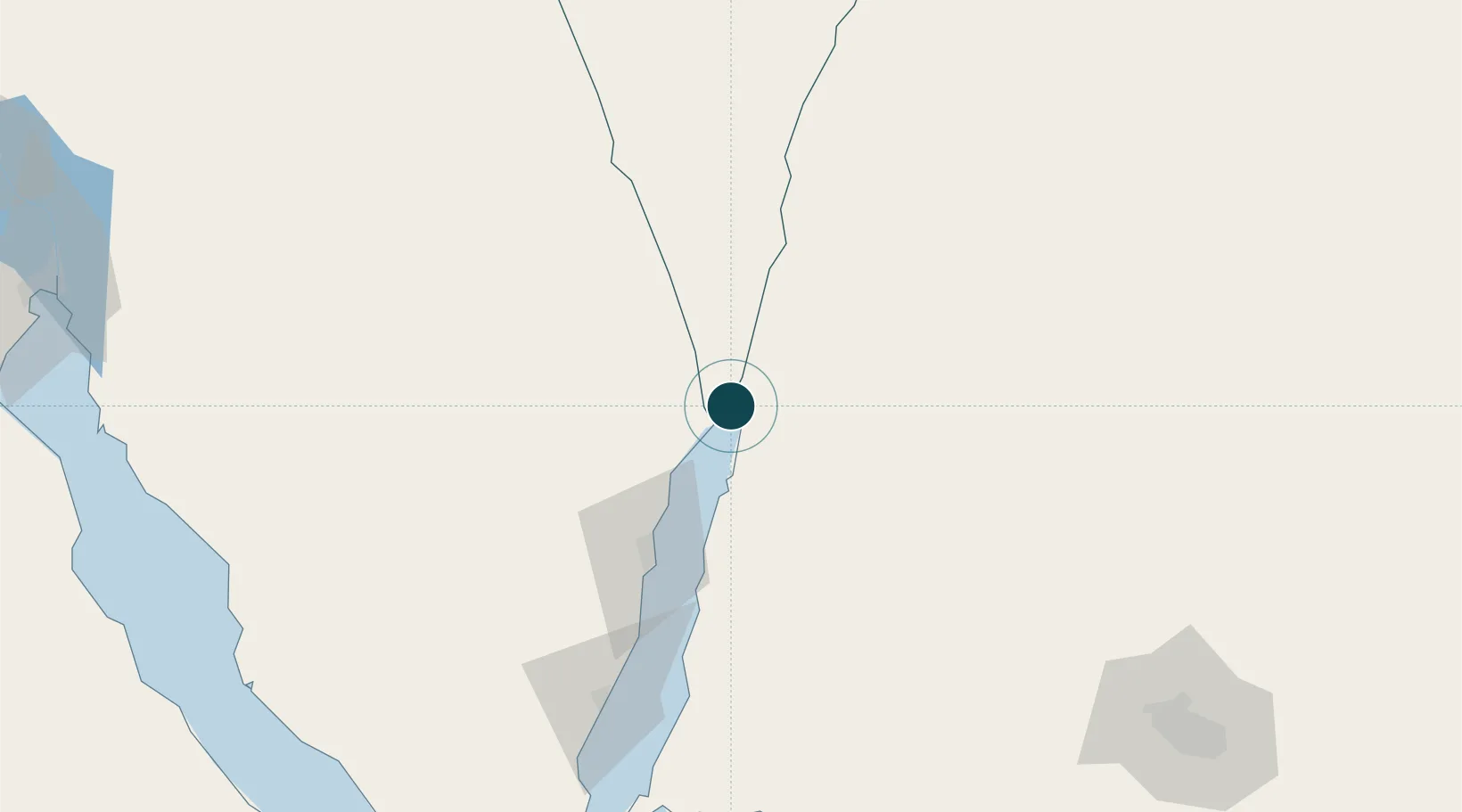
UNCTAD · Port Liner Shipping Connectivity Index

Location

Location of ILETH
Natural Earth 10m (public domain) · HaDarom · ILETH · 29.55, 34.95GoogleOSMYandex

Nearby Logistics Neighbours

Ports
  1. 1Al Aqabah6 km
  2. 2Nuwaybi'71 km
  3. 3Ras Badran Oil Terminal185 km
  4. 4Ras Abu Zanimah187 km
  5. 5Wadi Feiran192 km
Nearest neighbours — logibook spatial index (haversine) over the source coordinates
Cities
  1. 1Red Sea Security0 km
  2. 2'Aqaba6 km
  3. 3Al 'Aqabah11 km
  4. 4Nuwaiba71 km
  5. 5South Sinai (Ganoub Sinai)98 km
Nearest neighbours — logibook spatial index (haversine) over the source coordinates
Airports
  1. 1King Hussein International Airport10 km
  2. 2Taba International Airport18 km
  3. 3Ramon International Airport21 km
  4. 4Saint Catherine International Airport129 km
  5. 5Ramon Air Base139 km
Nearest neighbours — logibook spatial index (haversine) over the source coordinates
Trade Zones
  1. 1Eilat Free Port Zone3 km
  2. 2Shkhoret Industrial Zone6 km
  3. 3Aqaba Special Economic Zone6 km
  4. 4Aqaba International Industrial Estate9 km
  5. 5Al Muhammadiyah Development Zone94 km
Nearest neighbours — logibook spatial index (haversine) over the source coordinates
DatabookThe Record of Consolidated Knowledge
Israel beyond logistics?
Browse databook

All Sources

Portsthe NGA World Port Index
Public domain (US gov)
Logistics performanceUNCTAD
CC BY 3.0 IGO
AirportsOurAirports
Public domain
LocationsUN/LOCODE
UN/LOCODE — free
Trade Zonesthe World Bank SEZ database
CC BY 4.0
Trade ZonesOpen Zone Map
CC BY
← Israel ports