UN/LOCODE hub · Saudi Arabia
SADHU
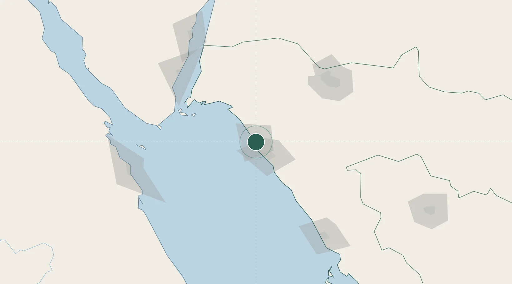
Port of NEOM
27.5600°, 35.5508°
1
Transport functions
1
Container terminals
Transport Functions
Port
Hub Profile
Logistics facilities
1
Container terminals
1
Location
Nearby Logistics Neighbours
Cities
- 1Neom1 km
- 2Al Khuraibah66 km
- 3Sharm ash Shaykh129 km
- 4Soma Bay Marina174 km
- 5Nuwaiba180 km
Ports
- 1Sharm El Sheikh129 km
- 2El Ghardaqa172 km
- 3Nuwaybi'180 km
- 4Safaja183 km
- 5Zeit Bay Terminal195 km
Airports
Trade Zones
- 1Red Sea Project98 km
- 2Tabuk Tabō«k Industrial City149 km
- 3NEOM162 km
- 4Safaga Free Zone183 km
- 5Aqaba Special Economic Zone228 km
DatabookThe Record of Consolidated Knowledge
Saudi Arabia beyond logistics?