Runway & Layout

Airport Specifications
ICAO code
OJKF
Airport class
Medium airport
Scheduled service
No
Served city
Al-Jafr
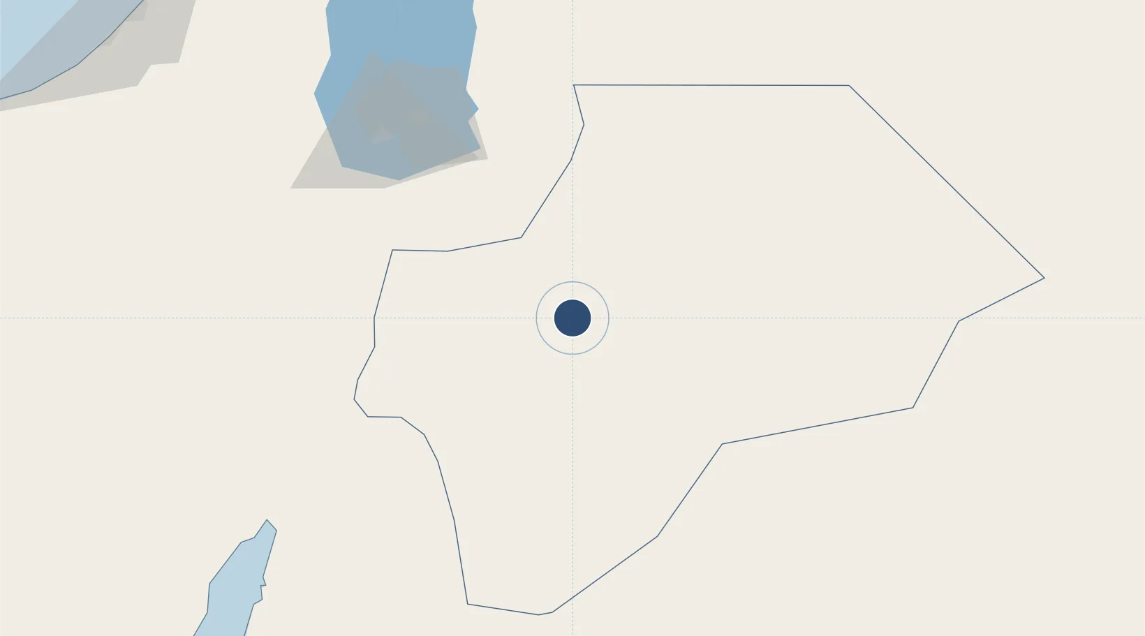
Location
Nearby Logistics Neighbours
Airports
- 1Ramon International Airport129 km
- 2Bar Yehuda Airfield131 km
- 3King Hussein International Airport136 km
- 4Nevatim Air Base145 km
- 5Ramon Air Base150 km
Cities
- 1Qir Moav103 km
- 2Mishor Rotem118 km
- 3Arad134 km
- 4'Aqaba144 km
- 5Red Sea Security145 km
Trade Zones
- 1Al Muhammadiyah Development Zone59 km
- 2Maan Maʿān Development Area59 km
- 3Al Tafilah Development Zone79 km
- 4Al-Karak Free Zone101 km
- 5Al-Karak Free Zone106 km
DatabookThe Record of Consolidated Knowledge
Jordan beyond logistics?