UN/LOCODE hub · Saudi Arabia
SAKHU

Al Khuraibah

28.0500°, 35.1667°
1
Transport functions

Transport Functions

Port
UN/LOCODE

Hub Profile

Region
07
GeoNames

Location

Location of SAKHU
Natural Earth 10m (public domain) · 07 · SAKHU · 28.05, 35.17GoogleOSMYandex

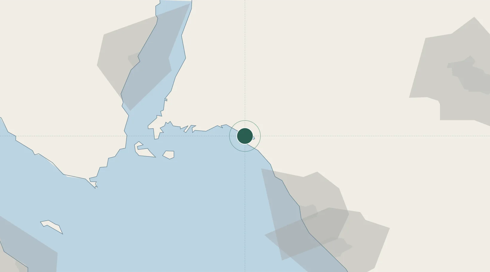
Nearby Logistics Neighbours

Cities
  1. 1Neom66 km
  2. 2Port of NEOM66 km
  3. 3Sharm ash Shaykh89 km
  4. 4Nuwaiba114 km
  5. 5El Tor153 km
Nearest neighbours — logibook spatial index (haversine) over the source coordinates
Ports
  1. 1Duba65 km
  2. 2Sharm El Sheikh90 km
  3. 3Nuwaybi'114 km
  4. 4At Tur153 km
  5. 5Zeit Bay Terminal156 km
Nearest neighbours — logibook spatial index (haversine) over the source coordinates
Airports
  1. 1Neom Bay Airport19 km
  2. 2Sharm El Sheikh International Airport76 km
  3. 3Saint Catherine International Airport129 km
  4. 4Prince Sultan bin Abdulaziz International Airport147 km
  5. 5Hurghada International Airport166 km
Nearest neighbours — logibook spatial index (haversine) over the source coordinates
Trade Zones
  1. 1Red Sea Project42 km
  2. 2NEOM129 km
  3. 3Tabuk Tabō«k Industrial City152 km
  4. 4Eilat Free Port Zone167 km
  5. 5Aqaba Special Economic Zone168 km
Nearest neighbours — logibook spatial index (haversine) over the source coordinates
DatabookThe Record of Consolidated Knowledge
Saudi Arabia beyond logistics?
Browse databook

All Sources

LocationsUN/LOCODE
UN/LOCODE — free
Portsthe NGA World Port Index
Public domain (US gov)
AirportsOurAirports
Public domain
Trade Zonesthe World Bank SEZ database
CC BY 4.0
Trade ZonesOpen Zone Map
CC BY
← Saudi Arabia locations