Diversified Zone · Jordan

Aqaba International Industrial Estate Active
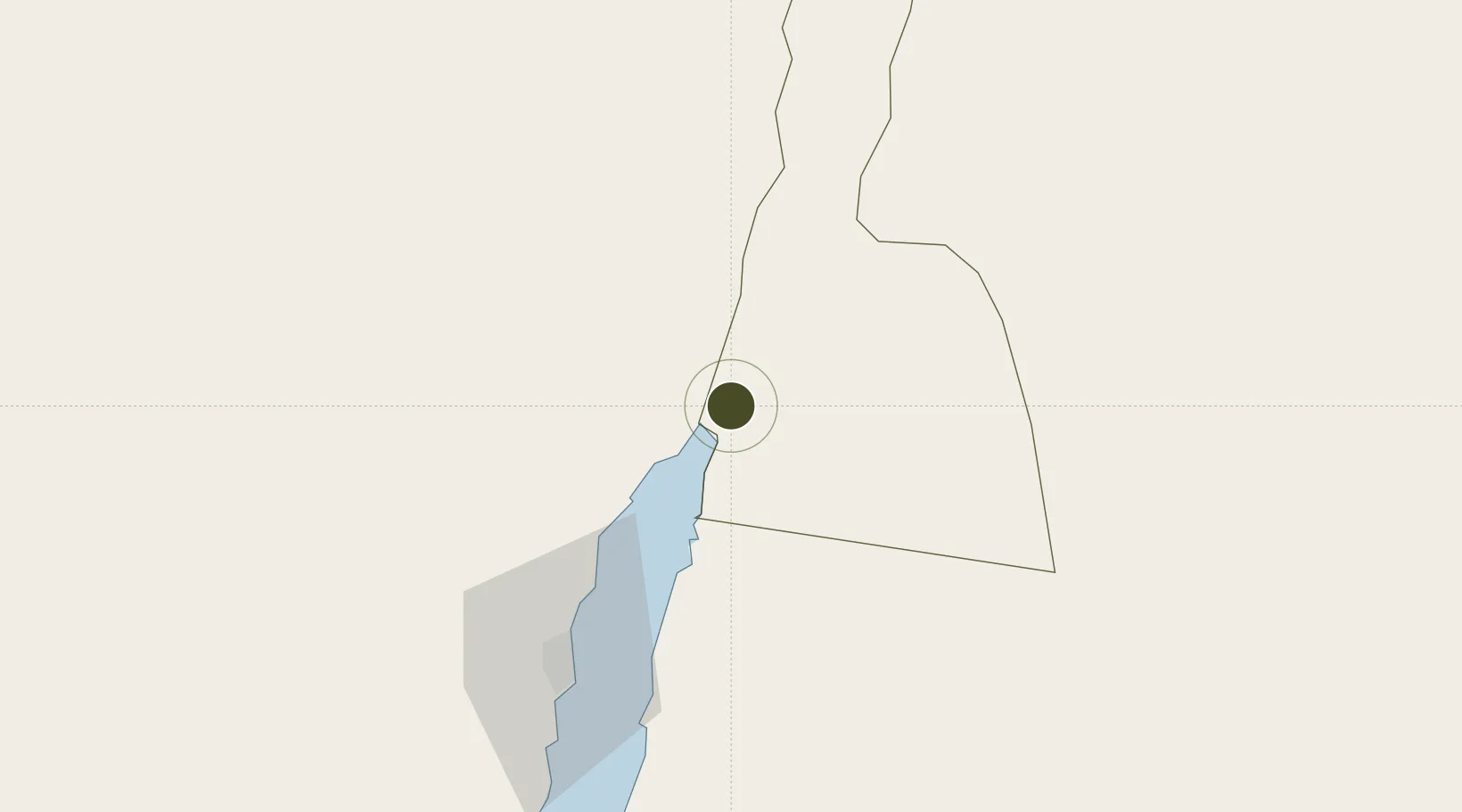
29.5982°, 35.0277°
275 ha
Zone area
9.2 km
Nearest port
1.8 km
Nearest airport

Gateway access

Nearest neighbours — logibook spatial index (haversine) over the source coordinates

Zone profile

Zone type
Diversified Zone
Open Zone Map
Region
Aqaba
Open Zone Map
Status
Active
Open Zone Map
Management
Private
Open Zone Map
Operator
PBI Aqaba Industrial Estate LLP
Open Zone Map
Legal framework
The Investment Law No. (30) of 2014.
Open Zone Map

Location

Location of ozm-2625
Natural Earth 10m (public domain) · Aqaba · ozm-2625 · 29.60, 35.03GoogleOSMYandex

Nearby Logistics Neighbours

Ports
  1. 1Elat9 km
  2. 2Al Aqabah10 km
  3. 3Nuwaybi'79 km
  4. 4Ras Badran Oil Terminal194 km
  5. 5Ras Abu Zanimah196 km
Nearest neighbours — logibook spatial index (haversine) over the source coordinates
Airports
  1. 1King Hussein International Airport2 km
  2. 2Ramon International Airport14 km
  3. 3Taba International Airport24 km
  4. 4Ramon Air Base136 km
  5. 5King Feisal Air Base136 km
Nearest neighbours — logibook spatial index (haversine) over the source coordinates
Cities
  1. 1Red Sea Security9 km
  2. 2'Aqaba10 km
  3. 3Al 'Aqabah14 km
  4. 4Nuwaiba79 km
  5. 5South Sinai (Ganoub Sinai)104 km
Nearest neighbours — logibook spatial index (haversine) over the source coordinates
Trade Zones
  1. 1Aqaba Special Economic Zone6 km
  2. 2Shkhoret Industrial Zone10 km
  3. 3Eilat Free Port Zone12 km
  4. 4Al Muhammadiyah Development Zone85 km
  5. 5Maan Maʿān Development Area85 km
Nearest neighbours — logibook spatial index (haversine) over the source coordinates
DatabookThe Record of Consolidated Knowledge
Jordan beyond logistics?
Browse databook

All Sources

Trade ZonesOpen Zone Map
CC BY
Portsthe NGA World Port Index
Public domain (US gov)
AirportsOurAirports
Public domain
LocationsUN/LOCODE
UN/LOCODE — free
← Jordan trade zones