Large airport · North Korea

Pyongyang Sunan International AirportZKPY
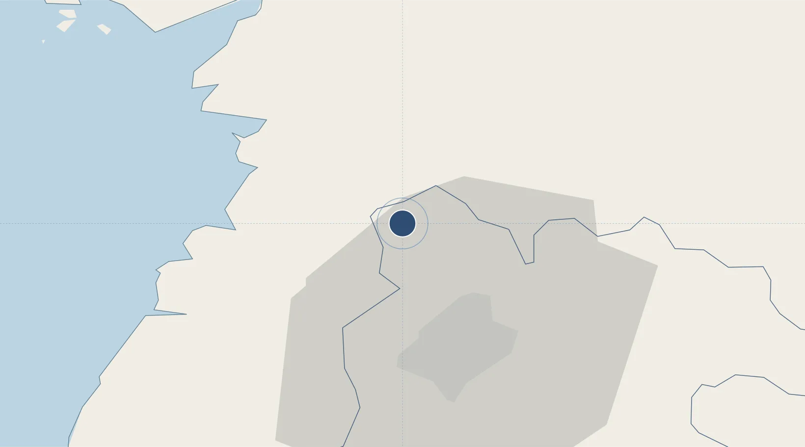
39.2241°, 125.6700°
11,490 ft
Longest runway
1
Runways
117 ft
Elevation

Runway & Layout

Pyongyang Sunan International Airport runway & taxiway layout
Runway & taxiway layout — OpenStreetMap (ODbL) / OurAirports

Radio Frequencies

TWR
118.3 MHz
GND
121.8 MHz
APP
130 MHz
OurAirports

Navaids

GK VOR-DME Pyongyang 111.40 MHz
WK NDB Pyongyang 320 kHz
OurAirports

Runways · 1

RunwayDimensions SurfaceTrue headingLit
17/35 11,490 × 230ft Concrete 163°
OurAirports

Airport Specifications

IATA code
FNJ
OurAirports
ICAO code
ZKPY
OurAirports
Airport class
Large airport
OurAirports
Scheduled service
Yes
OurAirports
Runway surface
Concrete
OurAirports
Served city
Pyongyang
OurAirports

Location

Location of ZKPY
Natural Earth 10m (public domain) · P'yŏngyang · ZKPY · 39.22, 125.67GoogleOSMYandex

Nearby Logistics Neighbours

Airports
  1. 1Sunchon Air Base28 km
  2. 2Uthachi Highway Strip Airport37 km
  3. 3Pukchang Air Base40 km
  4. 4Hwangju Airbase64 km
  5. 5Kwaksan Air Base74 km
Nearest neighbours — logibook spatial index (haversine) over the source coordinates
Cities
  1. 1Songnim51 km
  2. 2Samcha do84 km
  3. 3Panjang95 km
  4. 4Dandong148 km
  5. 5Dandong151 km
Nearest neighbours — logibook spatial index (haversine) over the source coordinates
Ports
  1. 1Kyomip'o55 km
  2. 2Nampo61 km
  3. 3Haeju Hang136 km
  4. 4Dandong146 km
  5. 5Wonsan154 km
Nearest neighbours — logibook spatial index (haversine) over the source coordinates
DatabookThe Record of Consolidated Knowledge
North Korea beyond logistics?
Browse databook

All Sources

AirportsOurAirports
Public domain
Portsthe NGA World Port Index
Public domain (US gov)
LocationsUN/LOCODE
UN/LOCODE — free
Trade Zonesthe World Bank SEZ database
CC BY 4.0
Trade ZonesOpen Zone Map
CC BY
InfrastructureOpenStreetMap
ODbL 1.0
← North Korea airports