Specialized Zone · North Korea
Sukchon Agricultural Development Zone Active
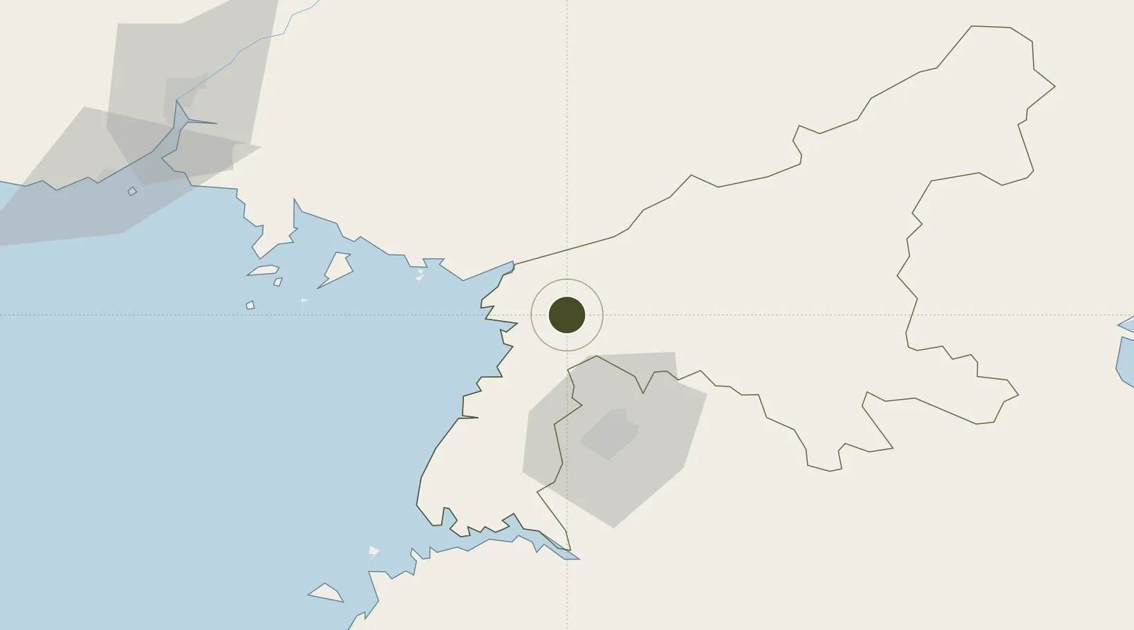
39.4114°, 125.6181°
300 ha
Zone area
75.4 km
Nearest port
21.3 km
Nearest airport
Gateway access
Zone profile
Zone type
Specialized Zone
Specialization
Agriculture
Region
P'yŏngan-namdo
Status
Active
Management
Public
Operator
Ministry of External Economic Relations
Legal framework
Labour Regulations for Foreign-Funded Enterprises in FETZ (Adopted as decision NO.8 of the Administration Council of the DPRK dated on December 3, 1993) The Law of the Democratic People’s Republic of Korea on the Rason Economic and Trade Zone; North Korea
Location
Nearby Logistics Neighbours
Ports
- 1Kyomip'o75 km
- 2Nampo80 km
- 3Dandong134 km
- 4Haeju Hang157 km
- 5Wonsan160 km
Airports
- 1Pyongyang Sunan International Airport21 km
- 2Sunchon Air Base23 km
- 3Pukchang Air Base32 km
- 4Kwaksan Air Base56 km
- 5Uthachi Highway Strip Airport58 km
Cities
- 1Songnim72 km
- 2Samcha do78 km
- 3Panjang111 km
- 4Dandong131 km
- 5Changdianhekou132 km
DatabookThe Record of Consolidated Knowledge
North Korea beyond logistics?