Small airport · Nepal
Lukla AirportVNLK
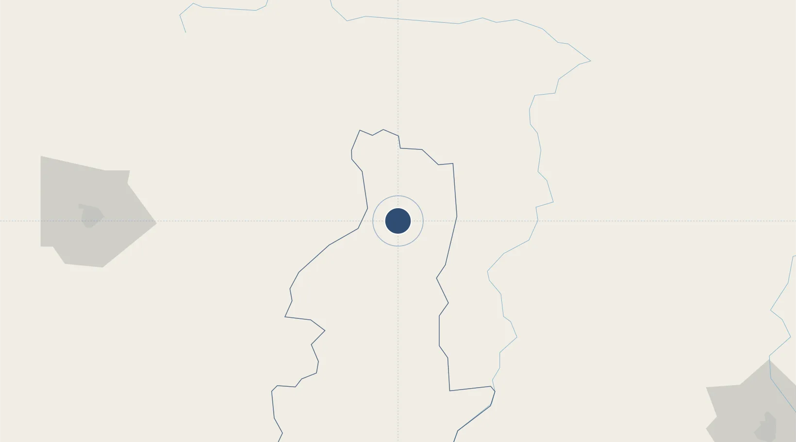
27.6868°, 86.7295°
1,729 ft
Longest runway
1
Runways
9,380 ft
Elevation
Runway & Layout

Radio Frequencies
TWR
122.5 MHz
APP
122.3 MHz
Runways · 1
| Runway | Dimensions | Surface | True heading | Lit |
|---|---|---|---|---|
| 06/24 | 1,729 × 98ft | asphalt | 060° | — |
Airport Specifications
IATA code
LUA
ICAO code
VNLK
Airport class
Small airport
Scheduled service
Yes
Runway surface
asphalt
Served city
Lukla
Location
Nearby Logistics Neighbours
Airports
- 1Tumling Tar Airport62 km
- 2Rikaze Dingri Airport102 km
- 3Taplejung Airport102 km
- 4Janakpur Airport135 km
- 5Tribhuvan International Airport135 km
Cities
- 1Laukaha Lcs129 km
- 2Biratnagar145 km
- 3Pratapganj156 km
- 4Pipraun Lcs164 km
- 5Sherathang Lcs188 km
Ports
- 1Calcutta594 km
- 2Haldia Port645 km
- 3Mongla648 km
- 4Dhamra764 km
- 5Chittagong787 km
Trade Zones
DatabookThe Record of Consolidated Knowledge
Nepal beyond logistics?