Transport Functions
Rail
Road
Airport
Hub Profile
Place type
Populated place
Region
Uttar Pradesh
Population
674,246
Time zone
Asia/Kolkata
Elevation
83 m
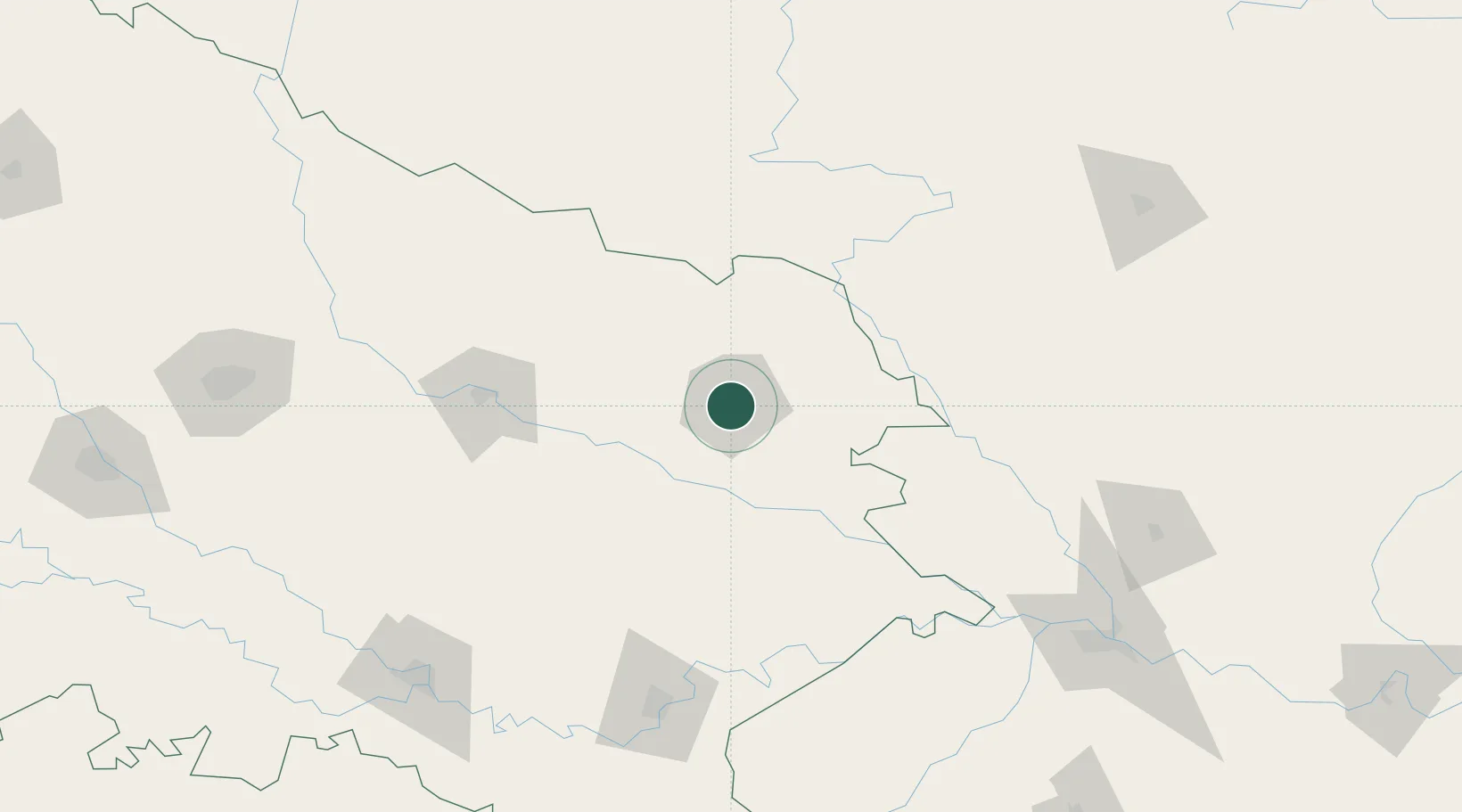
Location
Nearby Logistics Neighbours
Cities
- 1Thootibari Lcs60 km
- 2Sikta Lcs82 km
- 3Bhairahawa84 km
- 4Nawalparasi93 km
- 5Triveni95 km
Ports
- 1Calcutta687 km
- 2Haldia Port712 km
- 3Dhamra755 km
- 4Mongla791 km
- 5Paradip797 km
Airports
Trade Zones
DatabookThe Record of Consolidated Knowledge
India beyond logistics?