Free Trade Zone · Mauritania

Nouadibhou Free Zone Active
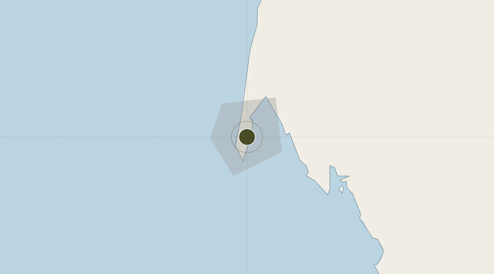
20.9125°, -17.0317°
500 ha
Zone area
2.0 km
Nearest port
2.2 km
Nearest airport

Gateway access

Nearest neighbours — logibook spatial index (haversine) over the source coordinates

Zone profile

Zone type
Free Trade Zone
Open Zone Map
Region
Dakhlet Nouadhibou
Open Zone Map
Status
Active
Open Zone Map
Management
Public-Private Partnership
Open Zone Map
Operator
Zone Authority of Nouadhibou, Société Chantier Naval du CAP blanc S.A
Open Zone Map
Legal framework
Law No. 001-2013 of January 2013 on Free Zones
Open Zone Map

Location

Location of ozm-2837
Natural Earth 10m (public domain) · Dakhlet Nouadhibou · ozm-2837 · 20.91, -17.03GoogleOSMYandex

Nearby Logistics Neighbours

Ports
  1. 1Nouadhibou2 km
  2. 2Ad Dakhla331 km
  3. 3Nouakchott337 km
  4. 4St Louis547 km
  5. 5M Bao Oil Terminal690 km
Nearest neighbours — logibook spatial index (haversine) over the source coordinates
Airports
  1. 1Nouadhibou International Airport2 km
  2. 2Nouakchott–Oumtounsy International Airport310 km
  3. 3Dakhla Airport332 km
  4. 4Atar International Airport417 km
  5. 5Tazadit Airport512 km
Nearest neighbours — logibook spatial index (haversine) over the source coordinates
Cities
  1. 1Nouadhibou3 km
  2. 2Rosso505 km
  3. 3Saint Louis545 km
  4. 4Nouakchott578 km
  5. 5Boujdour636 km
Nearest neighbours — logibook spatial index (haversine) over the source coordinates
Trade Zones
  1. 1Dakar Industrial Free Trade Zone687 km
  2. 2Diamniadio Special Economic Zone688 km
  3. 3Dakar Integrated Special Economic Zone694 km
  4. 4Ndayane Port Special Economic Zone707 km
  5. 5Sandiara Special Economic Zone721 km
Nearest neighbours — logibook spatial index (haversine) over the source coordinates
DatabookThe Record of Consolidated Knowledge
Mauritania beyond logistics?
Browse databook

All Sources

Trade ZonesOpen Zone Map
CC BY
Portsthe NGA World Port Index
Public domain (US gov)
AirportsOurAirports
Public domain
LocationsUN/LOCODE
UN/LOCODE — free
← Mauritania trade zones