Small airport · Mauritania
Tazadit AirportGQPZ
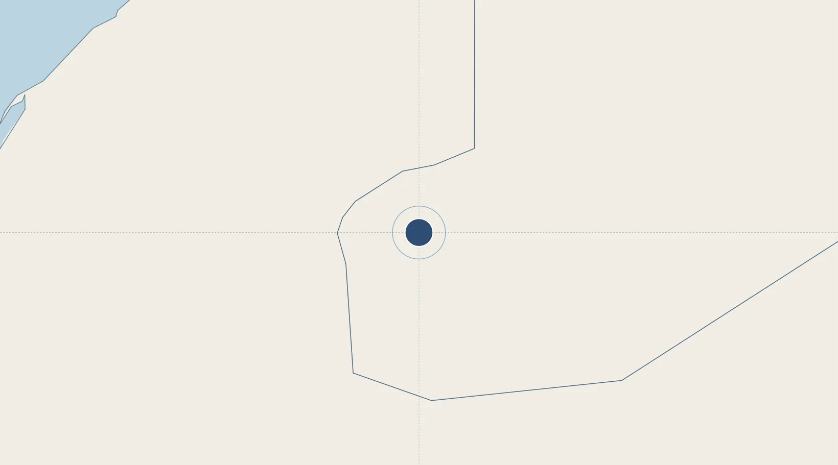
22.7573°, -12.4822°
8,202 ft
Longest runway
1
Runways
1,119 ft
Elevation
Runway & Layout

Runways · 1
| Runway | Dimensions | Surface | True heading | Lit |
|---|---|---|---|---|
| 09/27 | 8,202 × —ft | Asphalt | — | — |
Airport Specifications
IATA code
OUZ
ICAO code
GQPZ
Airport class
Small airport
Scheduled service
Yes
Runway surface
Asphalt
Served city
Zouérate
Location
Nearby Logistics Neighbours
Airports
- 1Atar International Airport257 km
- 2Dakhla Airport368 km
- 3Smara Airport449 km
- 4Laayoune Hassan I International Airport493 km
- 5Nouadhibou International Airport511 km
Cities
- 1Boujdour427 km
- 2Ejbei Uad el Aabd494 km
- 3Nouadhibou515 km
- 4Nouakchott527 km
- 5Castillo del Romeral635 km
Ports
- 1Ad Dakhla366 km
- 2Laayoune491 km
- 3Nouadhibou514 km
- 4Nouakchott643 km
- 5Puerto Del Rosario653 km
Trade Zones
DatabookThe Record of Consolidated Knowledge
Mauritania beyond logistics?