Large airport · Mauritania

Nouadhibou International AirportGQPP
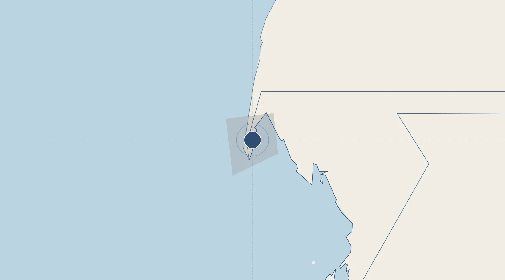
20.9324°, -17.0302°
7,961 ft
Longest runway
1
Runways
24 ft
Elevation

Runway & Layout

Nouadhibou International Airport runway & taxiway layout
Runway & taxiway layout — OpenStreetMap (ODbL) / OurAirports

Radio Frequencies

TWR
120.8 MHz
A/G
886.1 MHz
RDO
OurAirports

Navaids

PE VOR-DME Nouadhibou 113.50 MHz
OurAirports

Runways · 1

RunwayDimensions SurfaceTrue headingLit
02/20 7,961 × 148ft Asphalt 014°
OurAirports

Airport Specifications

IATA code
NDB
OurAirports
ICAO code
GQPP
OurAirports
Airport class
Large airport
OurAirports
Scheduled service
Yes
OurAirports
Runway surface
Asphalt
OurAirports
Served city
Nouadhibou
OurAirports

Location

Location of GQPP
Natural Earth 10m (public domain) · Dakhlet Nouadhibou · GQPP · 20.93, -17.03GoogleOSMYandex

Nearby Logistics Neighbours

Airports
  1. 1Nouakchott–Oumtounsy International Airport312 km
  2. 2Dakhla Airport330 km
  3. 3Atar International Airport417 km
  4. 4Tazadit Airport511 km
  5. 5Saint Louis Airport546 km
Nearest neighbours — logibook spatial index (haversine) over the source coordinates
Cities
  1. 1Nouadhibou5 km
  2. 2Rosso507 km
  3. 3Saint Louis548 km
  4. 4Nouakchott579 km
  5. 5Boujdour634 km
Nearest neighbours — logibook spatial index (haversine) over the source coordinates
Ports
  1. 1Nouadhibou3 km
  2. 2Ad Dakhla328 km
  3. 3Nouakchott339 km
  4. 4St Louis549 km
  5. 5M Bao Oil Terminal692 km
Nearest neighbours — logibook spatial index (haversine) over the source coordinates
Trade Zones
  1. 1Nouadibhou Free Zone2 km
  2. 2Dakar Industrial Free Trade Zone689 km
  3. 3Diamniadio Special Economic Zone690 km
  4. 4Dakar Integrated Special Economic Zone696 km
  5. 5Ndayane Port Special Economic Zone709 km
Nearest neighbours — logibook spatial index (haversine) over the source coordinates
DatabookThe Record of Consolidated Knowledge
Mauritania beyond logistics?
Browse databook

All Sources

AirportsOurAirports
Public domain
Portsthe NGA World Port Index
Public domain (US gov)
LocationsUN/LOCODE
UN/LOCODE — free
Trade Zonesthe World Bank SEZ database
CC BY 4.0
Trade ZonesOpen Zone Map
CC BY
InfrastructureOpenStreetMap
ODbL 1.0
← Mauritania airports