Large airport · Western Sahara
Dakhla AirportGMMH
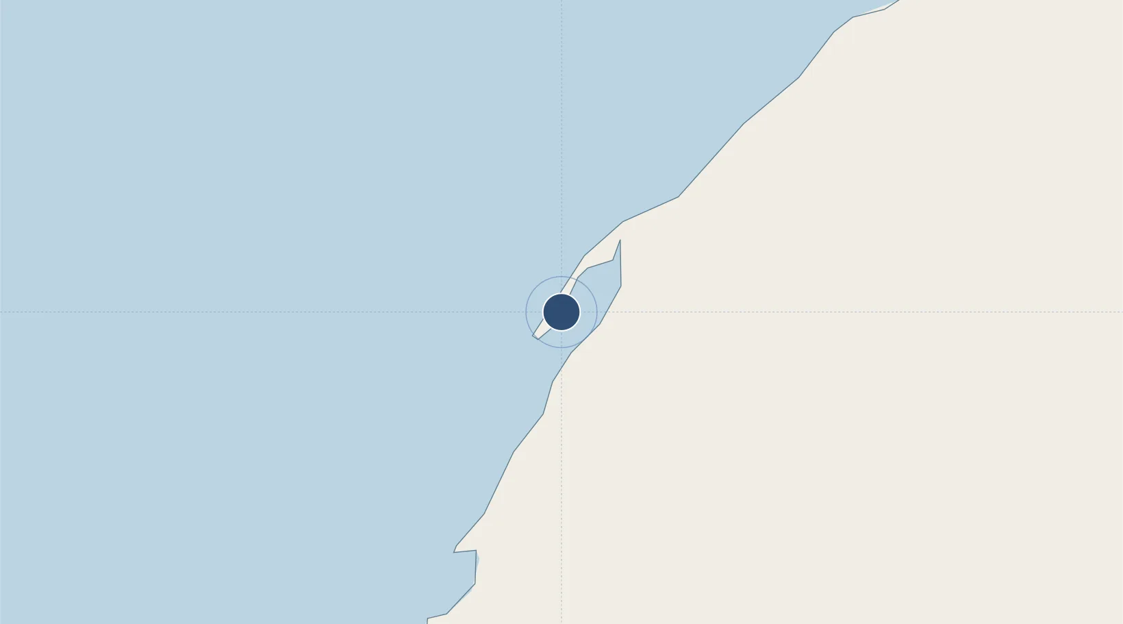
23.7183°, -15.9320°
9,842 ft
Longest runway
1
Runways
36 ft
Elevation
Runway & Layout

Radio Frequencies
TWR
118.1 MHz
Navaids
DKA NDB Dakhla 221 kHz
DKH VOR-DME Dakhla 115.80 MHz
Runways · 1
| Runway | Dimensions | Surface | True heading | Lit |
|---|---|---|---|---|
| 03/21 | 9,842 × 148ft | Asphalt | 023° | ✓ |
Airport Specifications
IATA code
VIL
ICAO code
GMMH
Airport class
Large airport
Scheduled service
Yes
Runway surface
Asphalt
Served city
Dakhla
Location
Nearby Logistics Neighbours
Airports
- 1Nouadhibou International Airport330 km
- 2Tazadit Airport368 km
- 3Atar International Airport465 km
- 4Laayoune Hassan I International Airport468 km
- 5Gran Canaria Airport472 km
Cities
- 1Boujdour306 km
- 2Nouadhibou334 km
- 3Playa Ingles452 km
- 4San Agustin453 km
- 5Juan Grande456 km
Ports
- 1Ad Dakhla3 km
- 2Nouadhibou332 km
- 3Laayoune451 km
- 4Las Palmas496 km
- 5Santa Cruz De Tenerife529 km
Trade Zones
DatabookThe Record of Consolidated Knowledge
Western Sahara beyond logistics?