Large airport · Mauritania

Atar International AirportGQPA
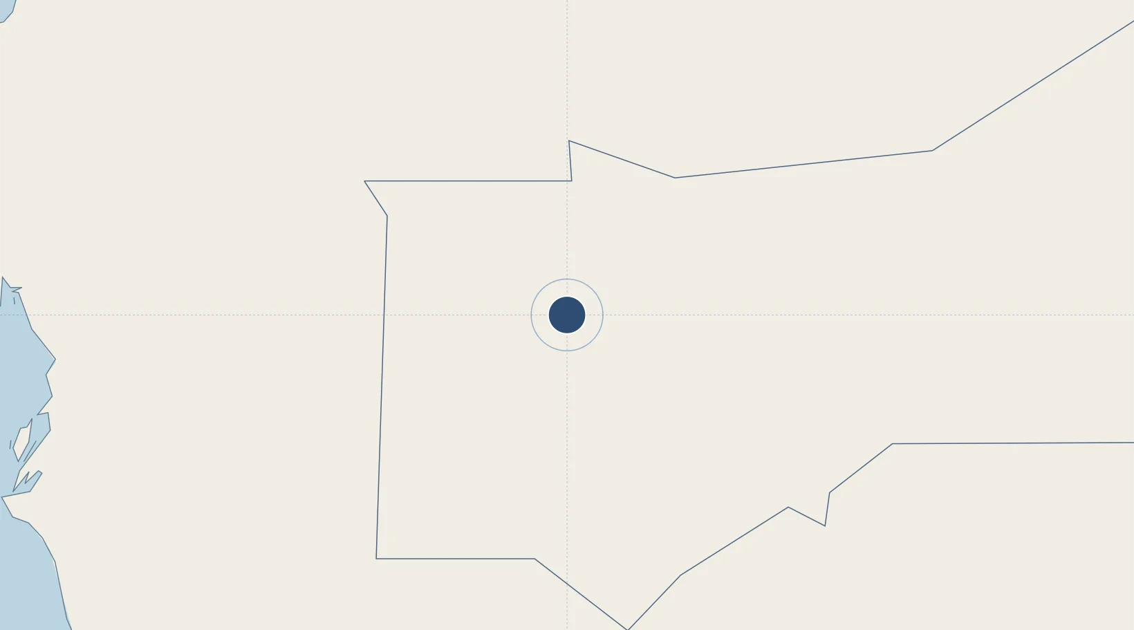
20.5058°, -13.0437°
9,855 ft
Longest runway
1
Runways
734 ft
Elevation

Runway & Layout

Atar International Airport runway & taxiway layout
Runway & taxiway layout — OpenStreetMap (ODbL) / OurAirports

Radio Frequencies

A/G
568 MHz
RDO
AFIS
118.3 MHz
INFO
OurAirports

Navaids

AR NDB Atar 326 kHz
OurAirports

Runways · 1

RunwayDimensions SurfaceTrue headingLit
04/22 9,855 × 98ft Asphalt 030°
OurAirports

Airport Specifications

IATA code
ATR
OurAirports
ICAO code
GQPA
OurAirports
Airport class
Large airport
OurAirports
Scheduled service
Yes
OurAirports
Runway surface
Asphalt
OurAirports
Served city
Atar
OurAirports

Location

Location of GQPA
Natural Earth 10m (public domain) · Adrar · GQPA · 20.51, -13.04GoogleOSMYandex

Nearby Logistics Neighbours

Airports
  1. 1Tazadit Airport257 km
  2. 2Nouakchott–Oumtounsy International Airport392 km
  3. 3Nouadhibou International Airport417 km
  4. 4Dakhla Airport465 km
  5. 5Ouro Sogui Airport547 km
Nearest neighbours — logibook spatial index (haversine) over the source coordinates
Cities
  1. 1Nouakchott284 km
  2. 2Nouadhibou419 km
  3. 3Rosso539 km
  4. 4Saint Louis617 km
  5. 5Boujdour643 km
Nearest neighbours — logibook spatial index (haversine) over the source coordinates
Ports
  1. 1Nouakchott417 km
  2. 2Nouadhibou419 km
  3. 3Ad Dakhla462 km
  4. 4St Louis619 km
  5. 5Laayoune733 km
Nearest neighbours — logibook spatial index (haversine) over the source coordinates
Trade Zones
  1. 1Nouadibhou Free Zone417 km
  2. 2Bîr Oum Ghrïn Free Zone546 km
  3. 3Dakar Integrated Special Economic Zone778 km
  4. 4Diamniadio Special Economic Zone780 km
  5. 5Sandiara Special Economic Zone784 km
Nearest neighbours — logibook spatial index (haversine) over the source coordinates
DatabookThe Record of Consolidated Knowledge
Mauritania beyond logistics?
Browse databook

All Sources

AirportsOurAirports
Public domain
Portsthe NGA World Port Index
Public domain (US gov)
LocationsUN/LOCODE
UN/LOCODE — free
Trade Zonesthe World Bank SEZ database
CC BY 4.0
Trade ZonesOpen Zone Map
CC BY
InfrastructureOpenStreetMap
ODbL 1.0
← Mauritania airports