Transport Functions
Port
Road
Hub Profile
Region
BOD
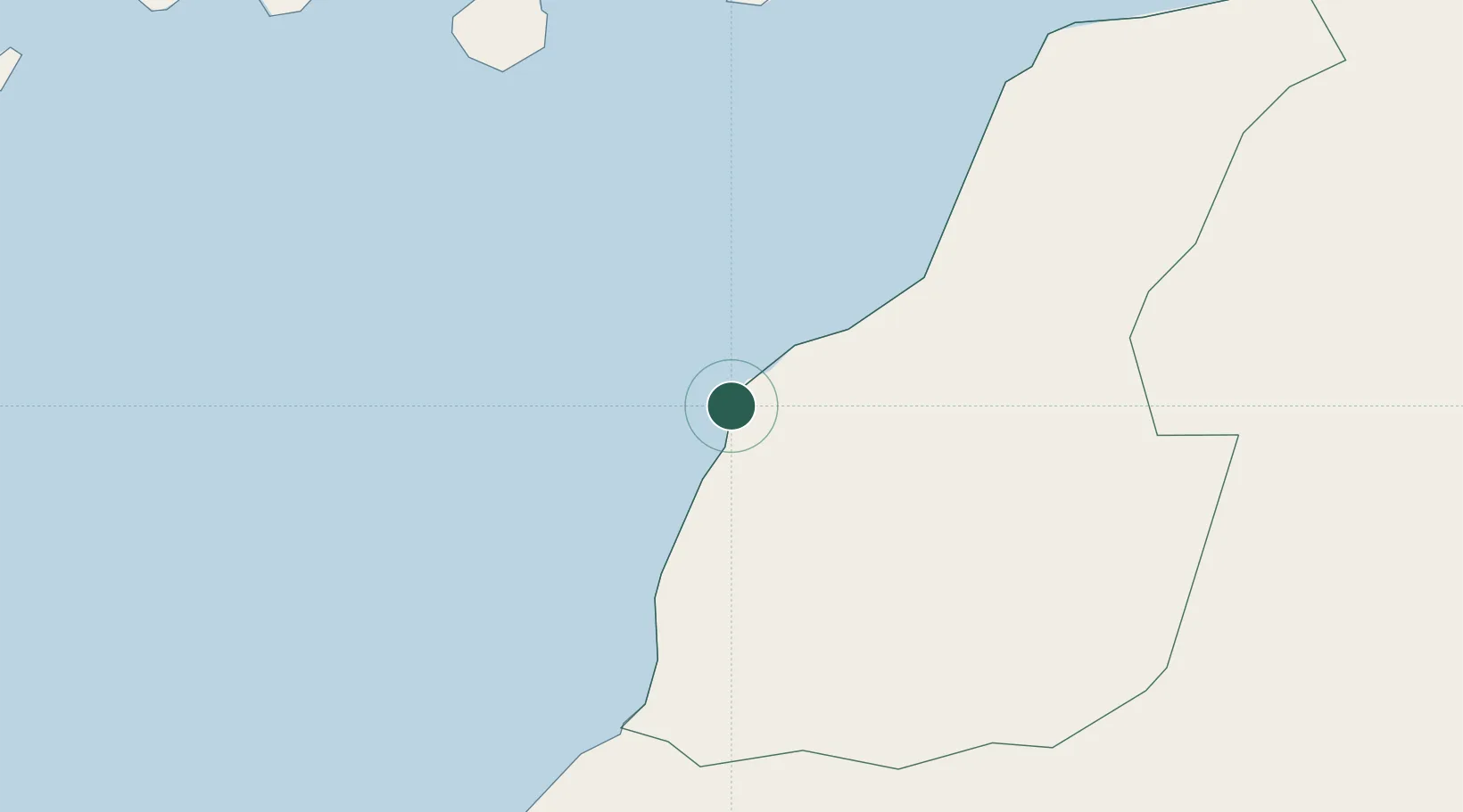
Location
Nearby Logistics Neighbours
Cities
- 1Ejbei Uad el Aabd170 km
- 2Castillo del Romeral209 km
- 3Juan Grande209 km
- 4Vecindario211 km
- 5Playa Ingles212 km
Ports
- 1Laayoune149 km
- 2Las Palmas243 km
- 3Puerto Del Rosario271 km
- 4Ad Dakhla307 km
- 5Santa Cruz De Tenerife312 km
Airports
- 1Laayoune Hassan I International Airport168 km
- 2Gran Canaria Airport219 km
- 3Fuerteventura Airport265 km
- 4Smara Airport287 km
- 5Tenerife Sur Airport297 km
Trade Zones
DatabookThe Record of Consolidated Knowledge
Morocco beyond logistics?