Channel & Berth Profile
Pilotage, Tugs & Services
Pilotage compulsoryYES
Pilotage availableYES
Pilotage advisableYES
Local assistanceYES
Tug assistanceYES
Salvage tugsNO
Shore powerYES
Potable waterYES
Diesel bunkersYES
MedicalYES
Facilities & Capabilities
Container—
Ro-Ro—
Liquid bulk—
Dry bulk—
Oil terminal—
Break bulk—
Dry dock—
RepairsNO
BunkeringYES
Rail link—
Dangerous cargo—
ISPS security—
Harbour Specifications
Harbour size
Very Small
Harbour type
River (Natural)
Shelter
Good
Water body
North Atlantic Ocean
Tidal range
2 m
Pilotage
Yes
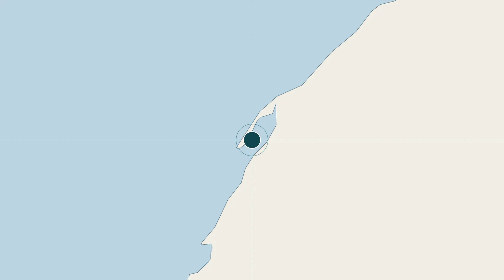
Location
Nearby Logistics Neighbours
Ports
- 1Nouadhibou331 km
- 2Laayoune451 km
- 3Las Palmas497 km
- 4Santa Cruz De Tenerife531 km
- 5Puerto Del Rosario572 km
Cities
- 1Boujdour307 km
- 2Nouadhibou333 km
- 3Playa Ingles453 km
- 4San Agustin456 km
- 5Juan Grande458 km
Airports
- 1Dakhla Airport3 km
- 2Nouadhibou International Airport328 km
- 3Tazadit Airport366 km
- 4Atar International Airport462 km
- 5Laayoune Hassan I International Airport469 km
Trade Zones
DatabookThe Record of Consolidated Knowledge
Western Sahara beyond logistics?