UN/LOCODE hub · Mauritania
MRNKC
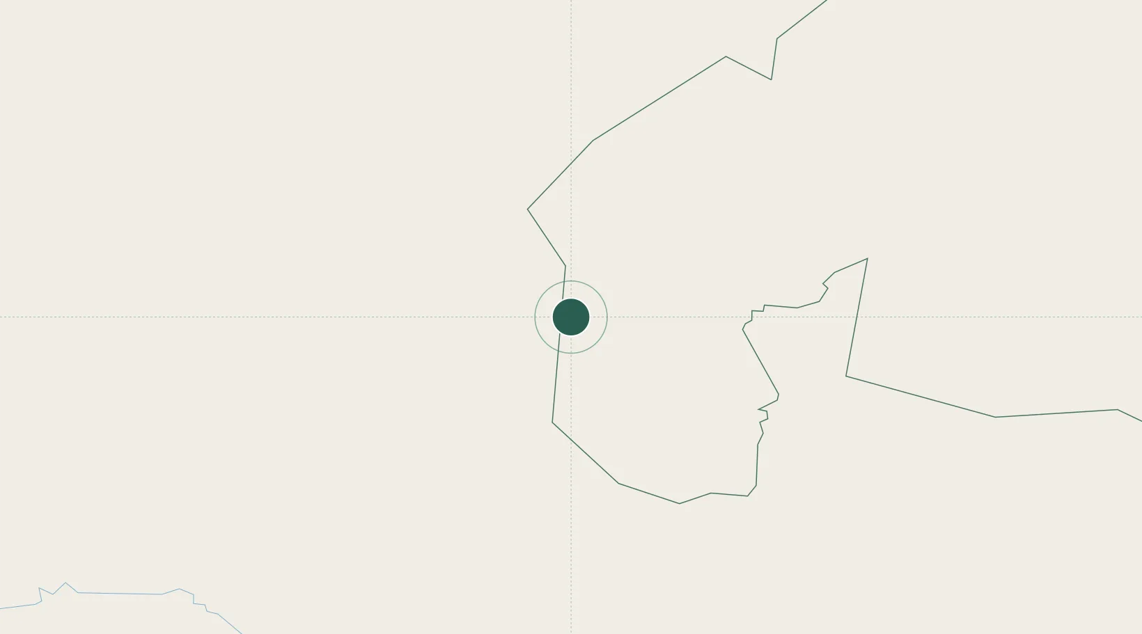
Nouakchott
18.0181°, -12.4512°
3
Transport functions
1
Container terminals
Transport Functions
Port
Airport
Postal
Hub Profile
Place type
Populated place
Region
Assaba
Time zone
Africa/Nouakchott
Elevation
142 m
Logistics facilities
10
Container terminals
1
Location
Nearby Logistics Neighbours
Cities
- 1Rosso405 km
- 2Saint Louis484 km
- 3Korouma516 km
- 4Nouadhibou579 km
- 5Thiès597 km
Ports
- 1St Louis486 km
- 2Nouadhibou580 km
- 3Lyndiane584 km
- 4Rufisque634 km
- 5M Bao Oil Terminal643 km
Airports
- 1Atar International Airport284 km
- 2Ouro Sogui Airport285 km
- 3Bakel Airport353 km
- 4Nouakchott–Oumtounsy International Airport373 km
- 5Kayes Dag Dag Airport409 km
Trade Zones
DatabookThe Record of Consolidated Knowledge
Mauritania beyond logistics?