Diversified Zone · Iran

Sabzevar Special Economic Zone Active
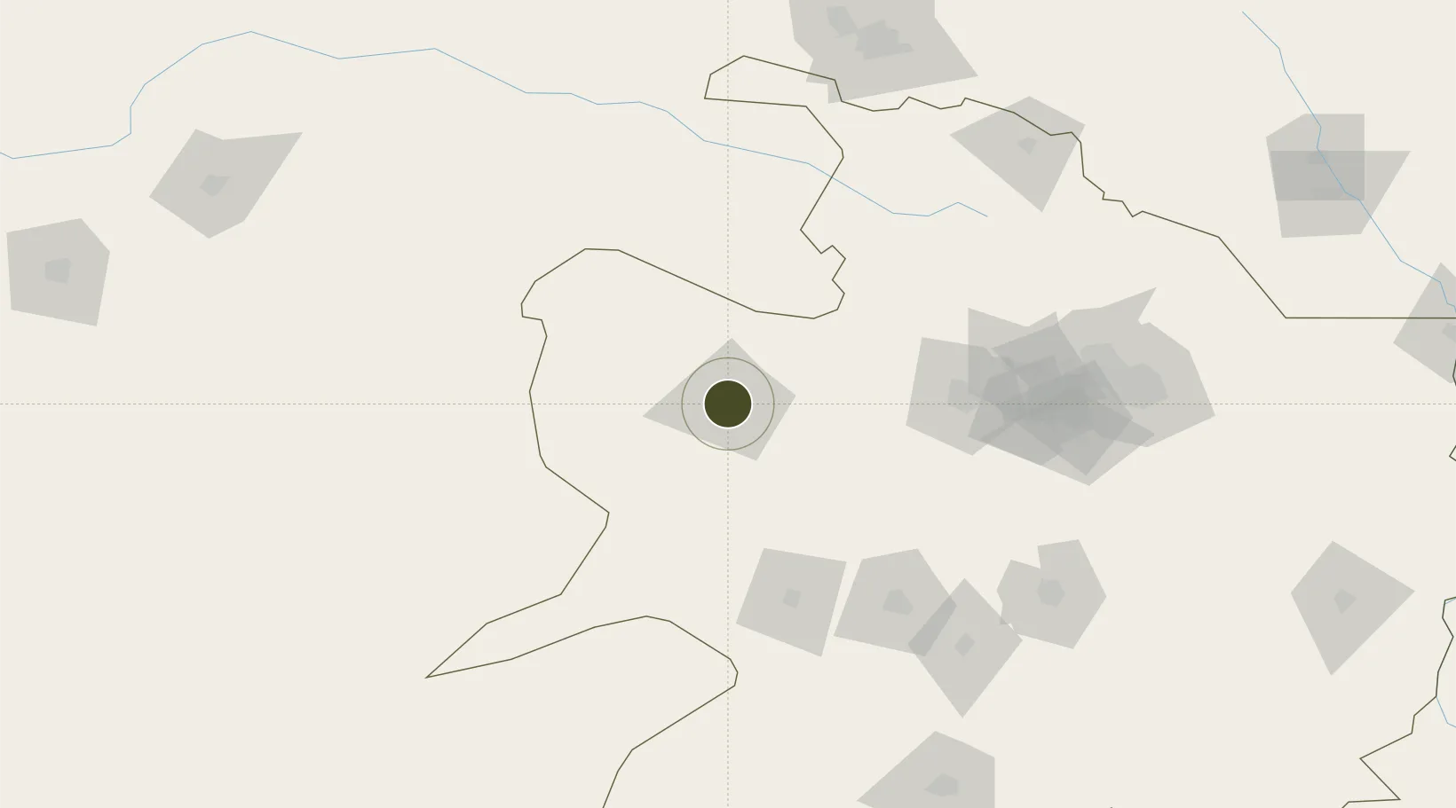
36.2229°, 57.6599°
1,200 ha
Zone area
1,014.0 km
Nearest port
8.4 km
Nearest airport

Gateway access

Nearest neighbours — logibook spatial index (haversine) over the source coordinates

Zone profile

Zone type
Diversified Zone
Open Zone Map
Region
Razavi Khorasan
Open Zone Map
Status
Active
Open Zone Map
Management
Private
Open Zone Map
Operator
Dyarsrbdaran Development Institute
Open Zone Map
Legal framework
Law on the Administration of Free Trade-Industrial Zones of the Islamic Republic of Iran
Open Zone Map

Location

Location of ozm-2484
Natural Earth 10m (public domain) · Razavi Khorasan · ozm-2484 · 36.22, 57.66GoogleOSMYandex

Nearby Logistics Neighbours

Ports
  1. 1Bandar-E Mahshahr1014 km
  2. 2Bandar Khomeyni1024 km
  3. 3Bushehr1027 km
  4. 4Kharg Island Oil Terminal1036 km
  5. 5Abadan1089 km
Nearest neighbours — logibook spatial index (haversine) over the source coordinates
Airports
  1. 1Sabzevar National Airport8 km
  2. 2Bojnord Airport145 km
  3. 3Mashhad International Airport178 km
  4. 4Ashgabat Bezmein Air Base205 km
  5. 5Ashgabat International Airport206 km
Nearest neighbours — logibook spatial index (haversine) over the source coordinates
Cities
  1. 1Altyn Asyr195 km
  2. 2Ashgabat203 km
  3. 3Büzmeyin209 km
  4. 4Kaka213 km
  5. 5Bäherden247 km
Nearest neighbours — logibook spatial index (haversine) over the source coordinates
Trade Zones
  1. 1Atrak Special Economic Zone128 km
  2. 2Bojnord Special Economic Zone144 km
  3. 3Damghan Special Economic Zone299 km
  4. 4Sarakhs Special Economic Zone314 km
  5. 5Dogharoon Special Economic Zone346 km
Nearest neighbours — logibook spatial index (haversine) over the source coordinates
DatabookThe Record of Consolidated Knowledge
Iran beyond logistics?
Browse databook

All Sources

Trade ZonesOpen Zone Map
CC BY
Portsthe NGA World Port Index
Public domain (US gov)
AirportsOurAirports
Public domain
LocationsUN/LOCODE
UN/LOCODE — free
← Iran trade zones