Large airport · Turkmenistan
Ashgabat International AirportUTAA
37.9868°, 58.3610°
12,467 ft
Longest runway
2
Runways
692 ft
Elevation
Runway & Layout

Radio Frequencies
TWR
120 MHz
GND
121.7 MHz
APP
123.5 MHz
GCA
118.7 MHz
APP
Navaids
AD NDB Ashgabat 407 kHz
ASB VOR-DME Ashgabat 114.50 MHz
GH NDB Ashgabat 320 kHz
PQ NDB Ashgabat 295 kHz
Runways · 2
| Runway | Dimensions | Surface | True heading | Lit |
|---|---|---|---|---|
| 11L/29R | 12,467 × 148ft | Concrete | 119° | ✓ |
| 11R/29L | 12,467 × 197ft | Concrete | 119° | ✓ |
Airport Specifications
IATA code
ASB
ICAO code
UTAA
Airport class
Large airport
Scheduled service
Yes
Runway surface
Concrete
Served city
Ashgabat
Location
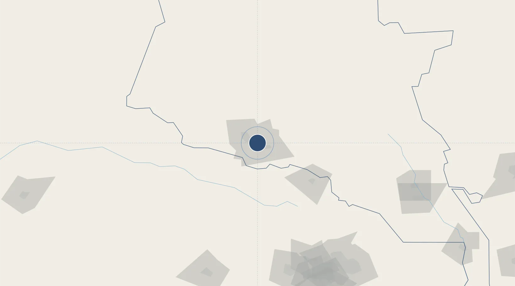
Nearby Logistics Neighbours
Airports
- 1Ashgabat Bezmein Air Base15 km
- 2Bojnord Airport108 km
- 3Sabzevar National Airport213 km
- 4Mashhad International Airport226 km
- 5Sarakhs Airport291 km
Cities
- 1Ashgabat5 km
- 2Altyn Asyr12 km
- 3Büzmeyin16 km
- 4Bäherden96 km
- 5Kaka130 km
Ports
- 1Bandar-E Mahshahr1187 km
- 2Bandar Khomeyni1196 km
- 3Bushehr1220 km
- 4Bandar Abbas1222 km
- 5Kharg Island Oil Terminal1224 km
Trade Zones
DatabookThe Record of Consolidated Knowledge
Turkmenistan beyond logistics?