Medium airport · Iran

Sabzevar National AirportOIMS
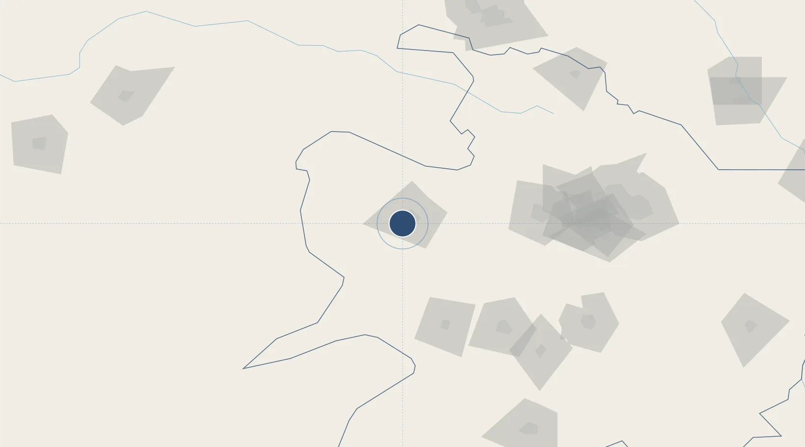
36.1681°, 57.5952°
10,428 ft
Longest runway
1
Runways
3,010 ft
Elevation

Runway & Layout

Sabzevar National Airport runway & taxiway layout
Runway & taxiway layout — OpenStreetMap (ODbL) / OurAirports

Radio Frequencies

AFIS
118.15 MHz
INFO
OurAirports

Navaids

SBZ VOR-DME Sabzevar 117.00 MHz
SBZ NDB Sabzevar 255 kHz
OurAirports

Runways · 1

RunwayDimensions SurfaceTrue headingLit
09/27 10,428 × 148ft Asphalt 095°
OurAirports

Airport Specifications

IATA code
AFZ
OurAirports
ICAO code
OIMS
OurAirports
Airport class
Medium airport
OurAirports
Scheduled service
Yes
OurAirports
Runway surface
Asphalt
OurAirports
Served city
Sabzevar
OurAirports

Location

Location of OIMS
Natural Earth 10m (public domain) · Razavi Khorasan · OIMS · 36.17, 57.60GoogleOSMYandex

Nearby Logistics Neighbours

Airports
  1. 1Bojnord Airport150 km
  2. 2Mashhad International Airport184 km
  3. 3Ashgabat Bezmein Air Base212 km
  4. 4Ashgabat International Airport213 km
  5. 5Tabas Airport285 km
Nearest neighbours — logibook spatial index (haversine) over the source coordinates
Cities
  1. 1Altyn Asyr203 km
  2. 2Ashgabat210 km
  3. 3Büzmeyin216 km
  4. 4Kaka222 km
  5. 5Bäherden252 km
Nearest neighbours — logibook spatial index (haversine) over the source coordinates
Ports
  1. 1Bandar-E Mahshahr1006 km
  2. 2Bandar Khomeyni1015 km
  3. 3Bushehr1019 km
  4. 4Kharg Island Oil Terminal1027 km
  5. 5Abadan1081 km
Nearest neighbours — logibook spatial index (haversine) over the source coordinates
Trade Zones
  1. 1Sabzevar Special Economic Zone8 km
  2. 2Atrak Special Economic Zone136 km
  3. 3Bojnord Special Economic Zone149 km
  4. 4Damghan Special Economic Zone294 km
  5. 5Sarakhs Special Economic Zone321 km
Nearest neighbours — logibook spatial index (haversine) over the source coordinates
DatabookThe Record of Consolidated Knowledge
Iran beyond logistics?
Browse databook

All Sources

AirportsOurAirports
Public domain
Portsthe NGA World Port Index
Public domain (US gov)
LocationsUN/LOCODE
UN/LOCODE — free
Trade Zonesthe World Bank SEZ database
CC BY 4.0
Trade ZonesOpen Zone Map
CC BY
InfrastructureOpenStreetMap
ODbL 1.0
← Iran airports