Medium airport · Iran
Bojnord AirportOIMN
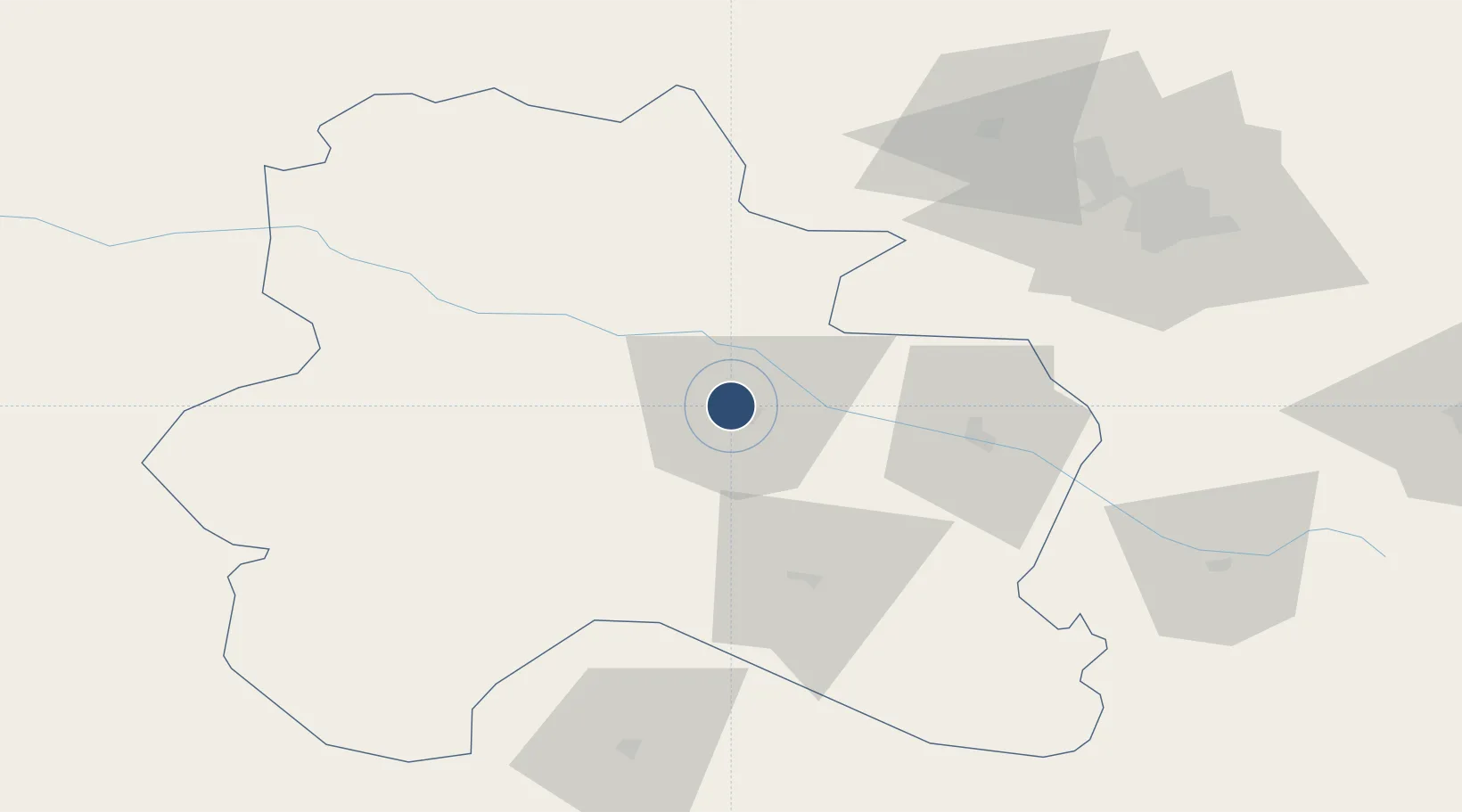
37.4930°, 57.3082°
10,582 ft
Longest runway
1
Runways
3,499 ft
Elevation
Runway & Layout

Radio Frequencies
AFIS
118.2 MHz
INFO
Navaids
BRD VOR-DME Bojnord 114.80 MHz
BRD NDB Bojnord 346 kHz
Runways · 1
| Runway | Dimensions | Surface | True heading | Lit |
|---|---|---|---|---|
| 07/25 | 10,582 × 148ft | Asphalt | 070° | — |
Airport Specifications
IATA code
BJB
ICAO code
OIMN
Airport class
Medium airport
Scheduled service
Yes
Runway surface
Asphalt
Served city
Bojnord
Location
Nearby Logistics Neighbours
Airports
- 1Ashgabat Bezmein Air Base97 km
- 2Ashgabat International Airport108 km
- 3Sabzevar National Airport150 km
- 4Mashhad International Airport250 km
- 5Gorgan Airport266 km
Cities
- 1Büzmeyin100 km
- 2Altyn Asyr103 km
- 3Bäherden105 km
- 4Ashgabat107 km
- 5Kaka203 km
Ports
- 1Bandar-E Mahshahr1082 km
- 2Bandar Khomeyni1091 km
- 3Bushehr1121 km
- 4Kharg Island Oil Terminal1123 km
- 5Khorramshahr1150 km
Trade Zones
- 1Bojnord Special Economic Zone0 km
- 2Atrak Special Economic Zone116 km
- 3Sabzevar Special Economic Zone145 km
- 4Damghan Special Economic Zone304 km
- 5Amirabad Port356 km
DatabookThe Record of Consolidated Knowledge
Iran beyond logistics?