Diversified Zone · Iran
Bojnord Special Economic Zone Active
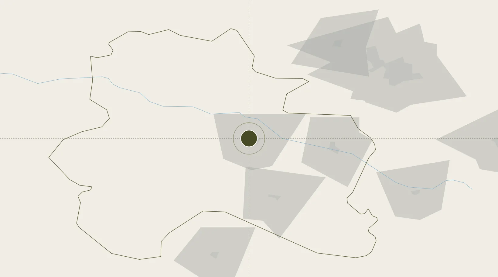
37.4898°, 57.3055°
355 ha
Zone area
1,081.1 km
Nearest port
0.4 km
Nearest airport
Gateway access
Zone profile
Zone type
Diversified Zone
Region
North Khorasan
Status
Active
Management
Public
Operator
Industrial Parks Company of North Khorasan Province
Legal framework
Law of Establishment and Administration of Special Economic Zones of Islamic Republic of Iran
Location
Nearby Logistics Neighbours
Ports
- 1Bandar-E Mahshahr1081 km
- 2Bandar Khomeyni1090 km
- 3Bushehr1120 km
- 4Kharg Island Oil Terminal1123 km
- 5Khorramshahr1149 km
Airports
- 1Bojnord Airport0 km
- 2Ashgabat Bezmein Air Base97 km
- 3Ashgabat International Airport108 km
- 4Sabzevar National Airport149 km
- 5Mashhad International Airport250 km
Cities
- 1Büzmeyin100 km
- 2Altyn Asyr103 km
- 3Bäherden105 km
- 4Ashgabat108 km
- 5Kaka203 km
Trade Zones
- 1Atrak Special Economic Zone116 km
- 2Sabzevar Special Economic Zone144 km
- 3Damghan Special Economic Zone304 km
- 4Amirabad Port356 km
- 5Sarakhs Special Economic Zone357 km
DatabookThe Record of Consolidated Knowledge
Iran beyond logistics?