UN/LOCODE hub · Turkmenistan
TMALT
Altyn Asyr
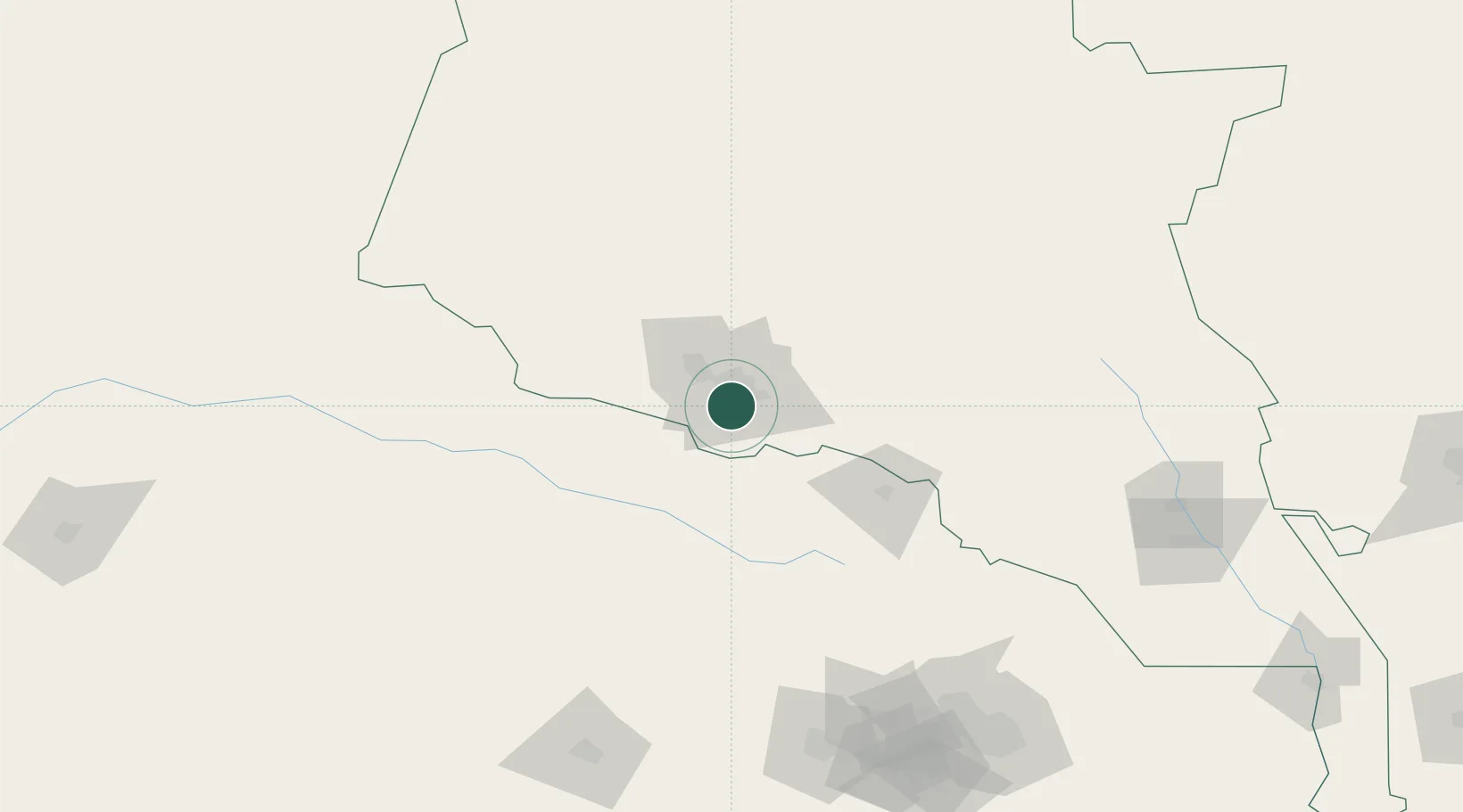
37.8833°, 58.3667°
13,660
Population
2
Transport functions
Transport Functions
Port
Multimodal
Hub Profile
Place type
Populated place
Region
Ahal
Population
13,660
Time zone
Asia/Ashgabat
Elevation
186 m
Location
Nearby Logistics Neighbours
Ports
- 1Bandar-E Mahshahr1179 km
- 2Bandar Khomeyni1189 km
- 3Bandar Abbas1211 km
- 4Bushehr1211 km
- 5Jazireh-Ye Hormoz1212 km
Airports
- 1Ashgabat International Airport12 km
- 2Ashgabat Bezmein Air Base21 km
- 3Bojnord Airport103 km
- 4Sabzevar National Airport203 km
- 5Mashhad International Airport216 km
Trade Zones
DatabookThe Record of Consolidated Knowledge
Turkmenistan beyond logistics?