Transport Functions
Rail
Road
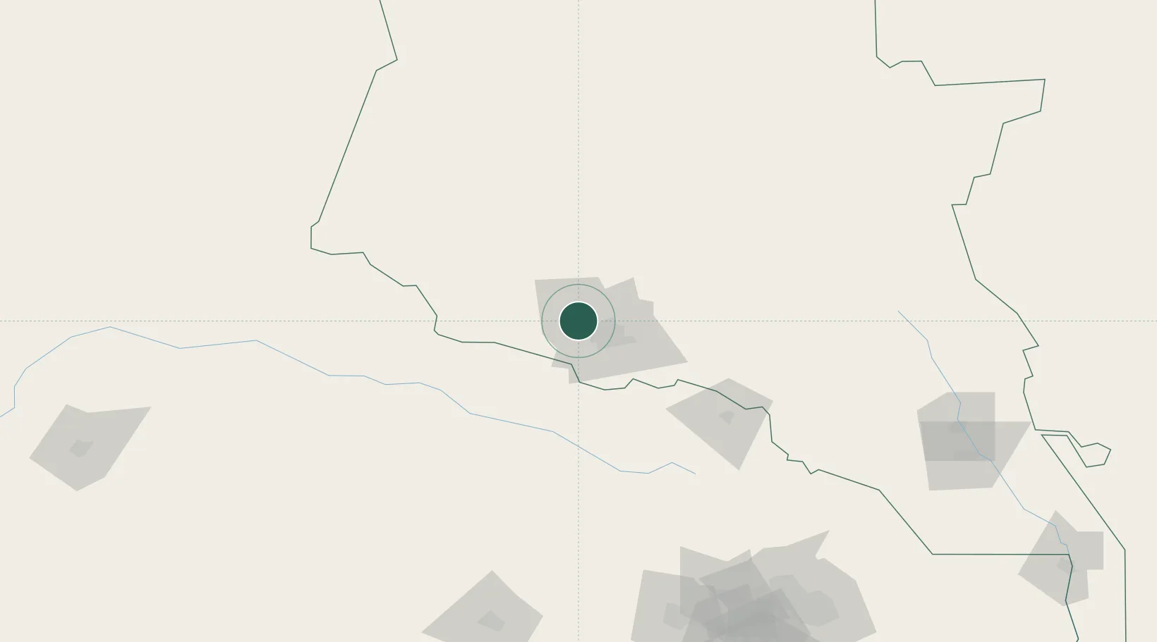
Location
Nearby Logistics Neighbours
Cities
- 1Ashgabat20 km
- 2Altyn Asyr24 km
- 3Bäherden81 km
- 4Kaka146 km
- 5Tejen215 km
Ports
- 1Bandar-E Mahshahr1181 km
- 2Bandar Khomeyni1190 km
- 3Bushehr1217 km
- 4Kharg Island Oil Terminal1220 km
- 5Khorramshahr1250 km
Airports
- 1Ashgabat Bezmein Air Base4 km
- 2Ashgabat International Airport16 km
- 3Bojnord Airport100 km
- 4Sabzevar National Airport216 km
- 5Mashhad International Airport239 km
Trade Zones
DatabookThe Record of Consolidated Knowledge
Turkmenistan beyond logistics?