Diversified Zone · Iran
Damghan Special Economic Zone Under Development
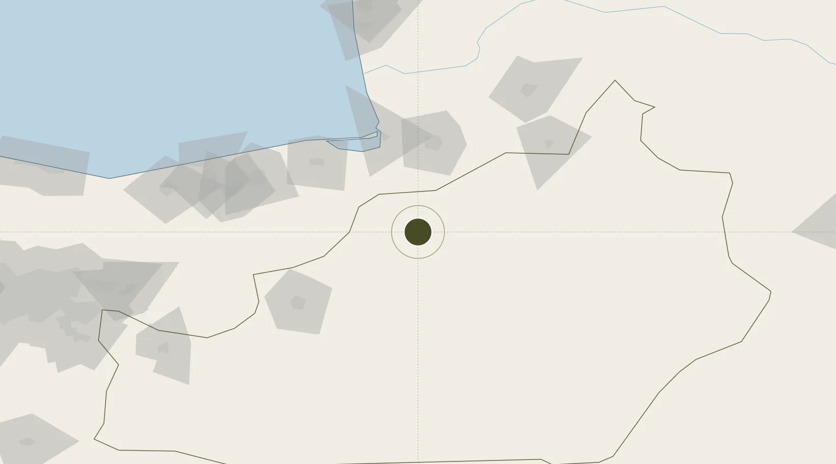
36.1645°, 54.3245°
1,000 ha
Zone area
793.2 km
Nearest port
83.1 km
Nearest airport
Gateway access
Zone profile
Zone type
Diversified Zone
Region
Semnan
Status
Under Development
Management
Public
Operator
Semanan Industrial Estates Company
Legal framework
Law of Establishment and Administration of Special Economic Zones of Islamic Republic of Iran
Location
Nearby Logistics Neighbours
Ports
- 1Bandar-E Mahshahr793 km
- 2Bandar Khomeyni802 km
- 3Khorramshahr855 km
- 4Kharg Island Oil Terminal856 km
- 5Abadan858 km
Airports
- 1Gorgan Airport83 km
- 2Semnan Municipal Airport98 km
- 3Sari Dasht-e Naz International Airport115 km
- 4Nowshahr Airport262 km
- 5Mehrabad International Airport276 km
Cities
- 1Bandar-e Gaz77 km
- 2Bandar Neka105 km
- 3Bandar Amirabad111 km
- 4Neka120 km
- 5Freidoon Kenar170 km
Trade Zones
- 1Semnan Special Economic Zone110 km
- 2Amirabad Port114 km
- 3Garmsar Special Economic Zone215 km
- 4Noshahr Special Economic Zone258 km
- 5Bandar Nowshahr Special Economic Zone258 km
DatabookThe Record of Consolidated Knowledge
Iran beyond logistics?