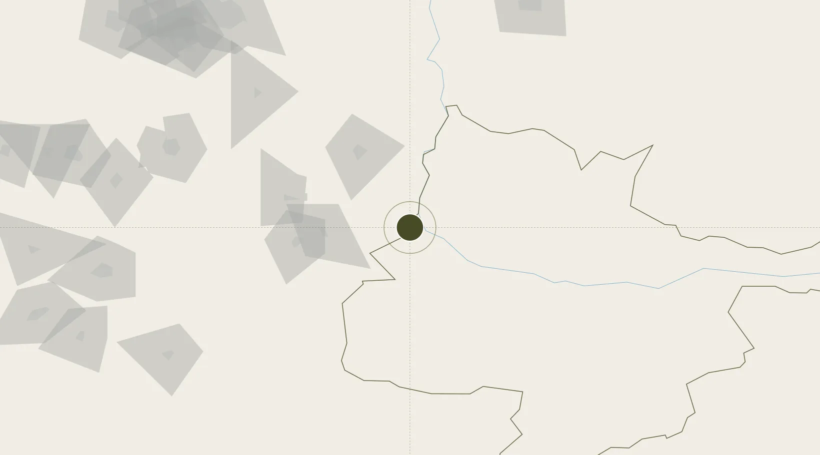
Diversified Zone · Iran

Dogharoon Special Economic Zone Active

34.7094°, 61.0011°
8,700 ha
Zone area
950.7 km
Nearest port
125.5 km
Nearest airport

Gateway access

Nearest neighbours — logibook spatial index (haversine) over the source coordinates

Zone profile

Zone type
Diversified Zone
Open Zone Map
Region
Hirat
Open Zone Map
Status
Active
Open Zone Map
Management
Private
Open Zone Map
Operator
Dogharoon Development Company
Open Zone Map
Legal framework
Law of Establishment and Administration of Special Economic Zones of Islamic Republic of Iran
Open Zone Map

Location

Location of ozm-2502
Natural Earth 10m (public domain) · Hirat · ozm-2502 · 34.71, 61.00GoogleOSMYandex

Nearby Logistics Neighbours

Ports
  1. 1Jazireh-Ye Hormoz951 km
  2. 2Bandar Abbas957 km
  3. 3Bandar-E Shahid Rejaie968 km
  4. 4Khawr Khasab1049 km
  5. 5Chah Bahar1051 km
Nearest neighbours — logibook spatial index (haversine) over the source coordinates
Airports
  1. 1Herat - Khwaja Abdullah Ansari International Airport126 km
  2. 2Sarakhs Airport199 km
  3. 3Mashhad International Airport210 km
  4. 4Birjand International Airport257 km
  5. 5Mary International Airport334 km
Nearest neighbours — logibook spatial index (haversine) over the source coordinates
Cities
  1. 1Tejen299 km
  2. 2Yolöten313 km
  3. 3Kaka320 km
  4. 4Murgap320 km
  5. 5Bayramaly340 km
Nearest neighbours — logibook spatial index (haversine) over the source coordinates
Trade Zones
  1. 1Herat Special Economic Zone Special Economic Zone125 km
  2. 2Toraghundi Special Economic Zone131 km
  3. 3Shīnḍanḍ Special Economic Zone187 km
  4. 4Sarakhs Special Economic Zone204 km
  5. 5Birjand Special Economic Zone247 km
Nearest neighbours — logibook spatial index (haversine) over the source coordinates
DatabookThe Record of Consolidated Knowledge
Iran beyond logistics?
Browse databook

All Sources

Trade ZonesOpen Zone Map
CC BY
Portsthe NGA World Port Index
Public domain (US gov)
AirportsOurAirports
Public domain
LocationsUN/LOCODE
UN/LOCODE — free
← Iran trade zones