Channel & Berth Profile
Pilotage, Tugs & Services
Pilotage compulsoryYES
Pilotage availableYES
Pilotage advisableYES
Tug assistanceYES
Salvage tugsYES
Potable waterYES
Diesel bunkersNO
MedicalNO
Facilities & Capabilities
Container—
Ro-Ro—
Liquid bulk—
Dry bulk—
Oil terminal—
Break bulk—
Dry dock—
Repairs—
BunkeringNO
Rail link—
Dangerous cargo—
ISPS security—
Harbour Specifications
Harbour size
Small
Harbour type
River (Natural)
Shelter
Good
Water body
Persian Gulf; Indian Ocean
Tidal range
4 m
Overhead limit
Yes
Pilotage
Yes
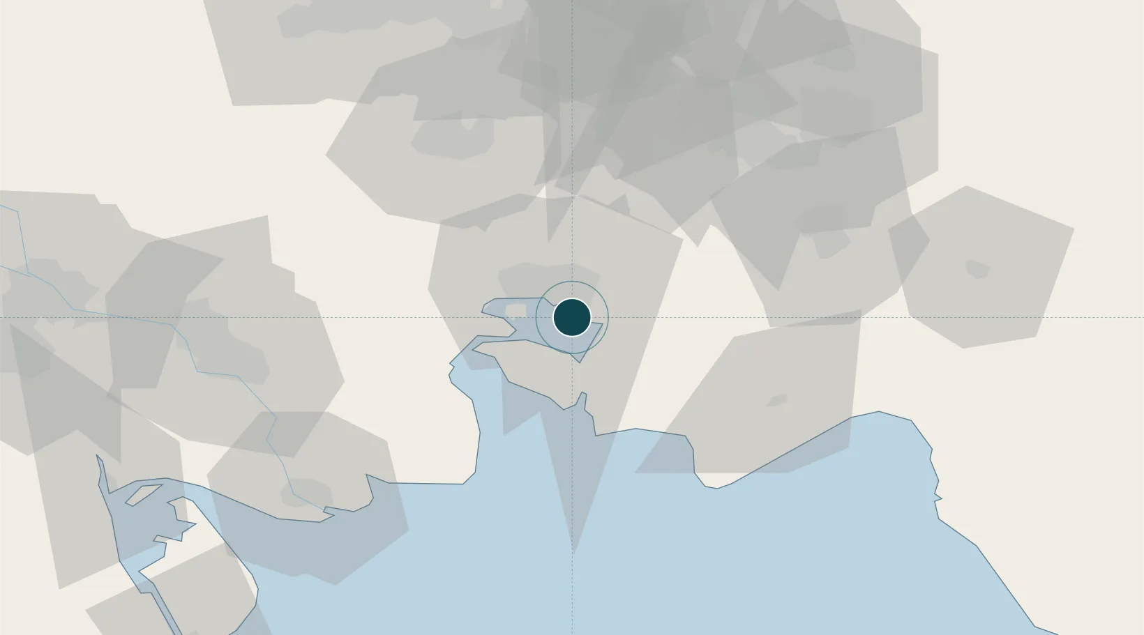
Location
Nearby Logistics Neighbours
Ports
- 1Bandar Khomeyni10 km
- 2Khawr Al Amaya85 km
- 3Abadan88 km
- 4Al-Basra Oil Terminal94 km
- 5Khorramshahr96 km
Cities
- 1Bandar-e Emam Khomeyni9 km
- 2Bandar Khomeini9 km
- 3Bandar Mashur9 km
- 4Imam Khomeini Pt/ Mahshahr City13 km
- 5Basrah Oil Terminal87 km
Airports
Trade Zones
DatabookThe Record of Consolidated Knowledge
Iran beyond logistics?