Transport Functions
Rail
Road
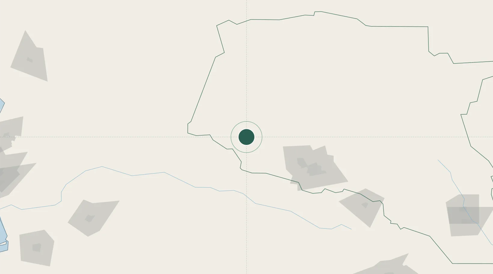
Location
Nearby Logistics Neighbours
Cities
- 1Büzmeyin81 km
- 2Ashgabat100 km
- 3Altyn Asyr103 km
- 4Kaka226 km
- 5Balkanabat291 km
Ports
- 1Bandar-E Mahshahr1163 km
- 2Bandar Khomeyni1172 km
- 3Kharg Island Oil Terminal1213 km
- 4Bushehr1214 km
- 5Khorramshahr1227 km
Airports
- 1Ashgabat Bezmein Air Base83 km
- 2Ashgabat International Airport96 km
- 3Bojnord Airport105 km
- 4Sabzevar National Airport252 km
- 5Balkanabat Airport288 km
Trade Zones
DatabookThe Record of Consolidated Knowledge
Turkmenistan beyond logistics?